


 Home
Home

Geospatial
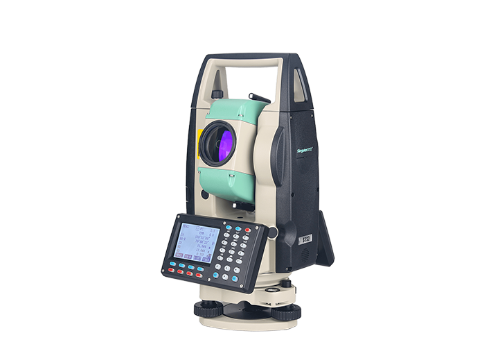
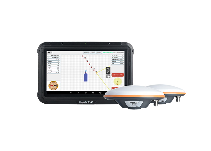
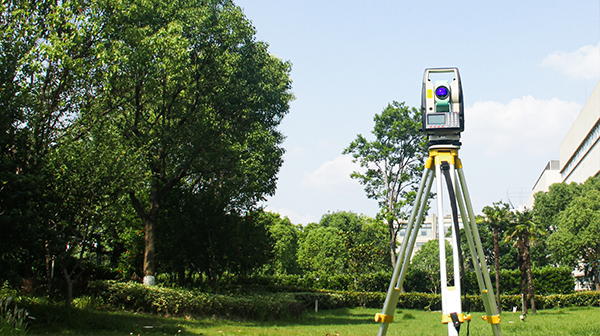
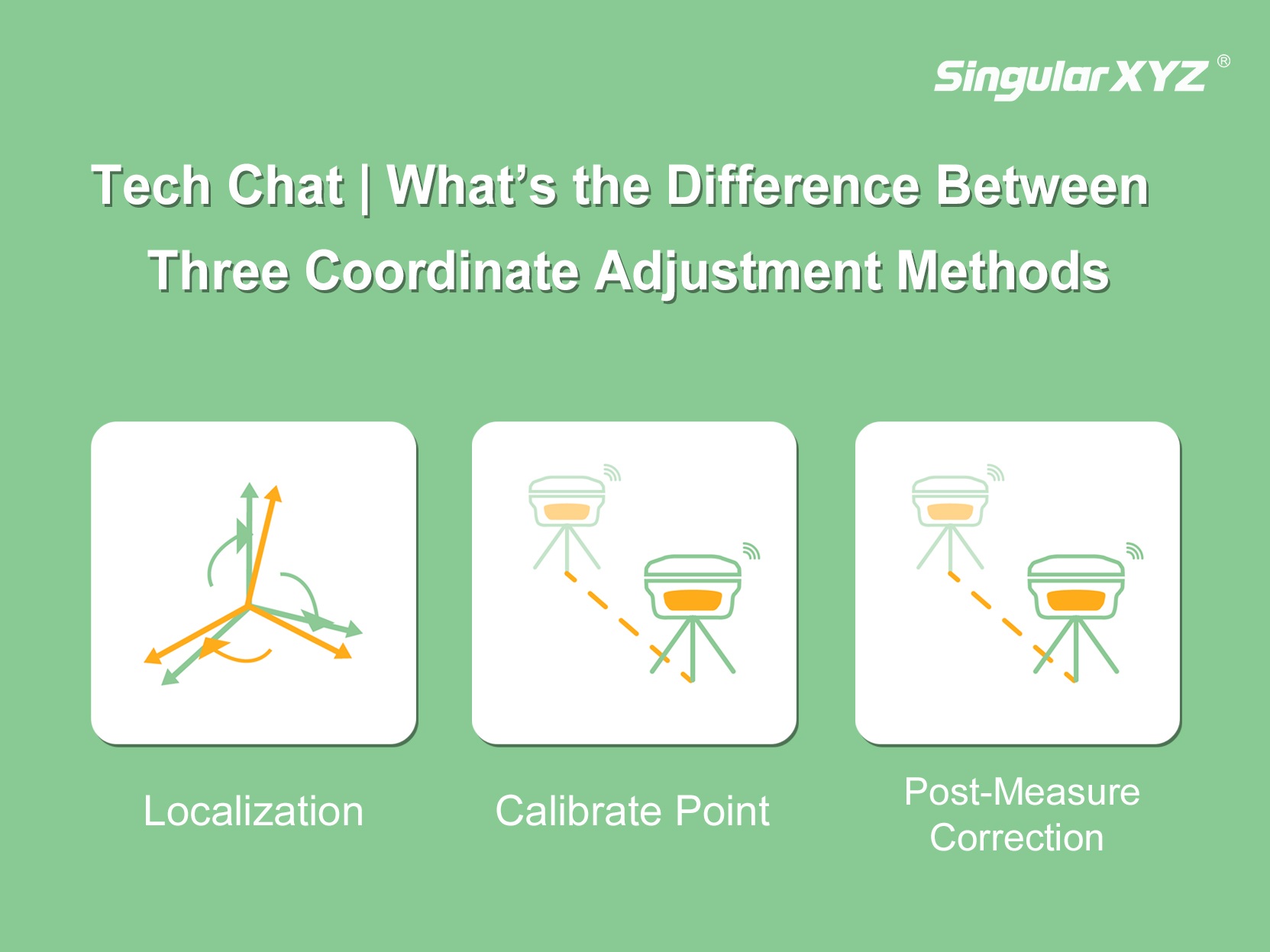
Tech Chat | Three Coordinate Adjustment Methods: Localization, Calibrate Point & Post-Measure Correction
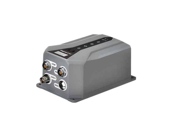
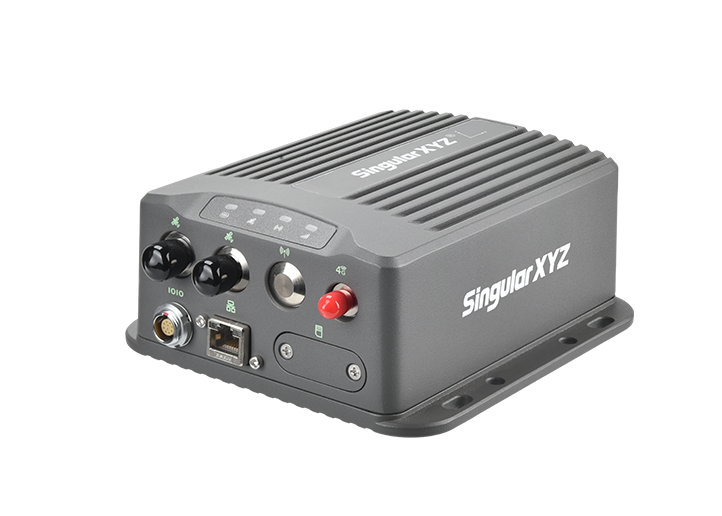
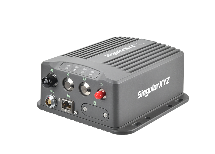
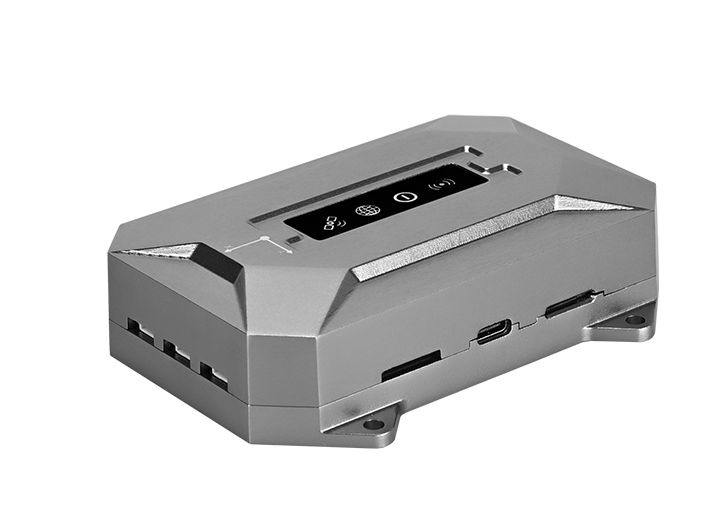
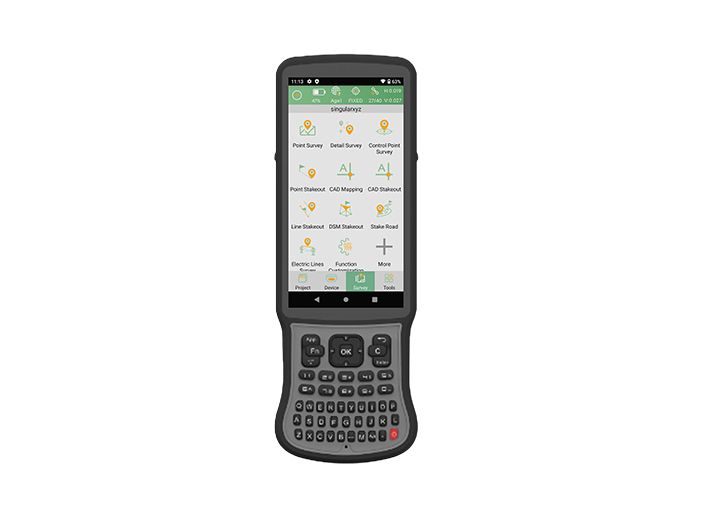
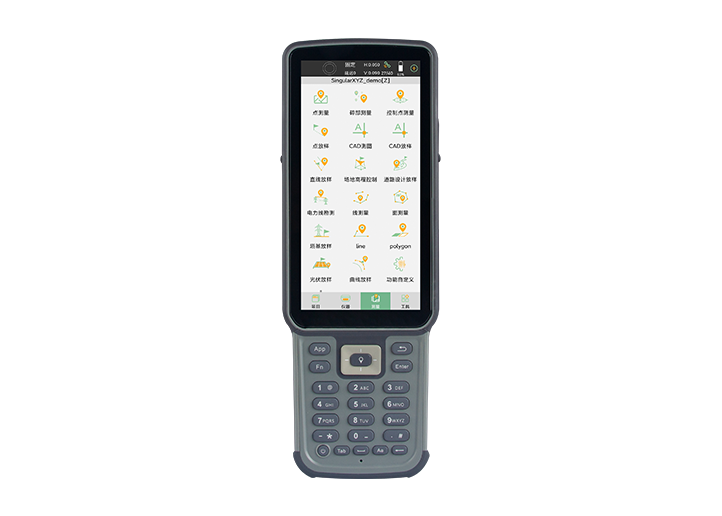
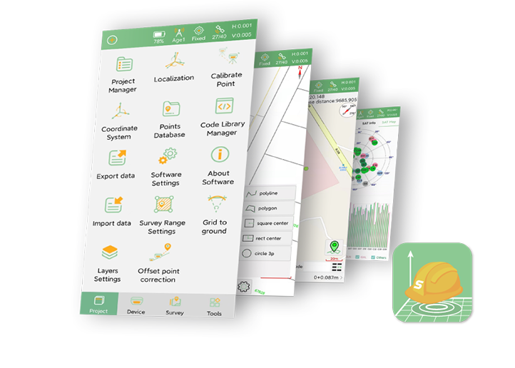
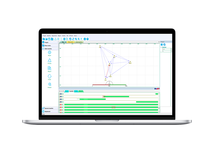
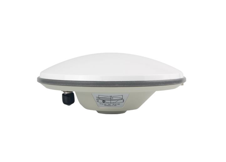
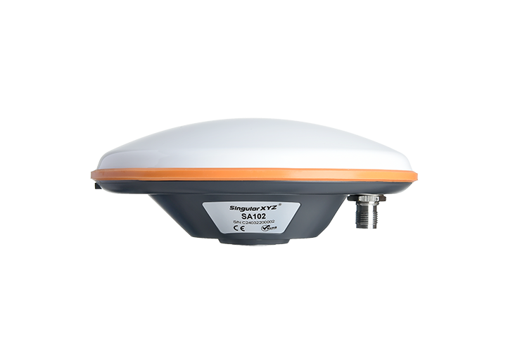
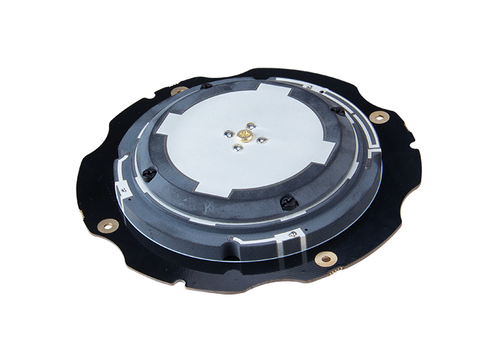
In daily measurement work, we may often need to change the coordinates. Our SingularPad field surveying software has three ways to achieve coordinate changes: Localization, Calibrate Point and Post-Measure Correction.
learn more