


 Home
Home

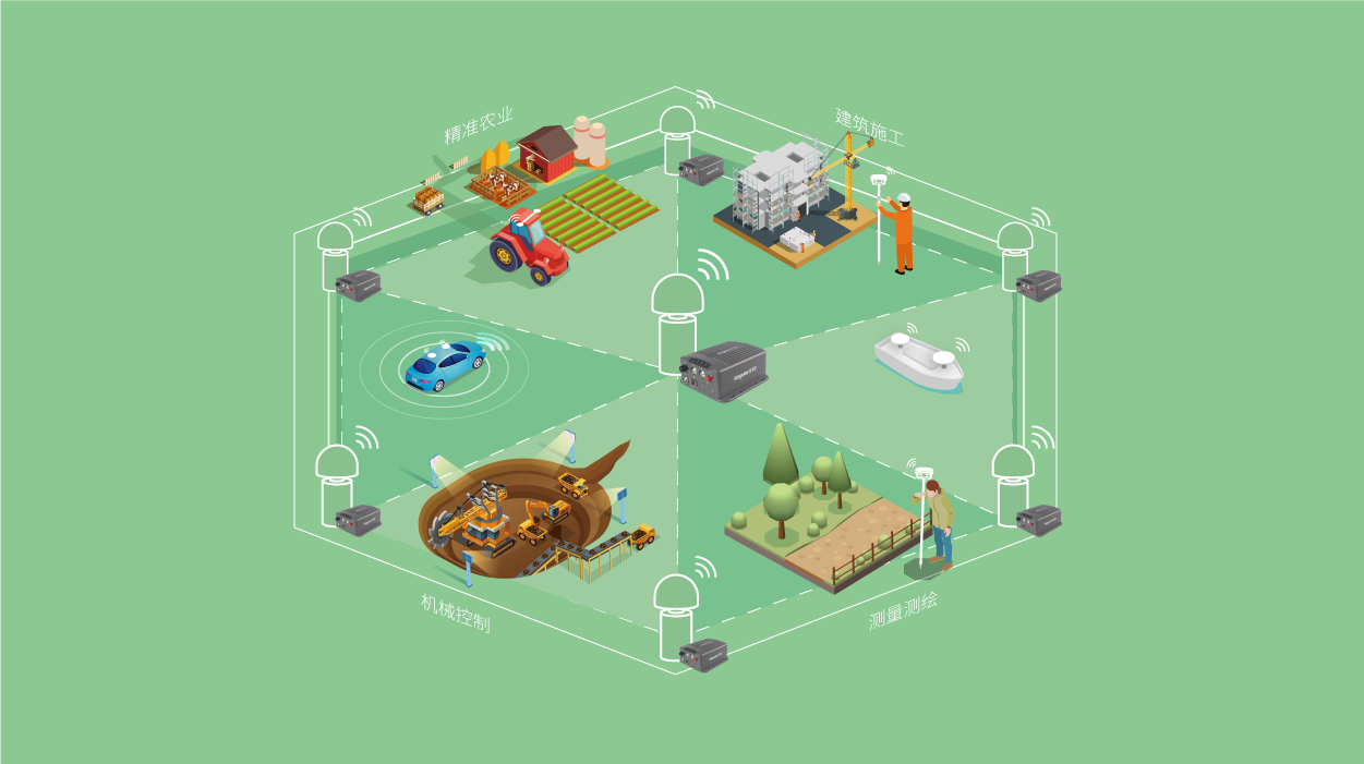
Geospatial
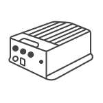
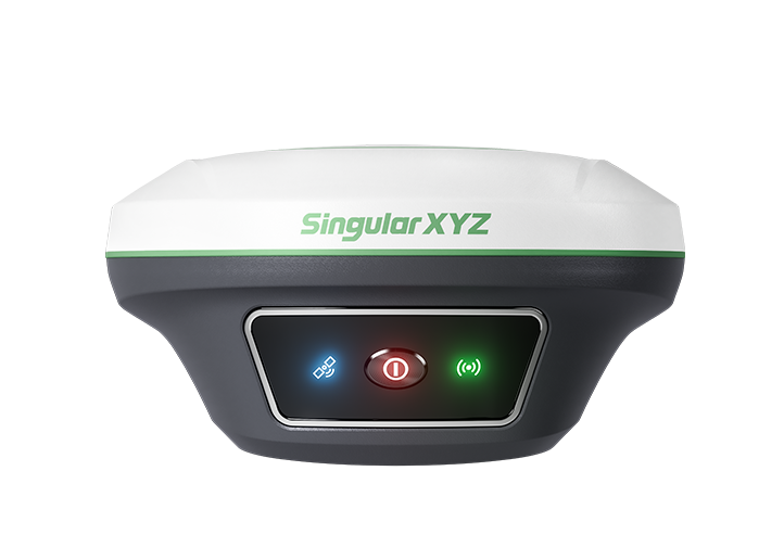
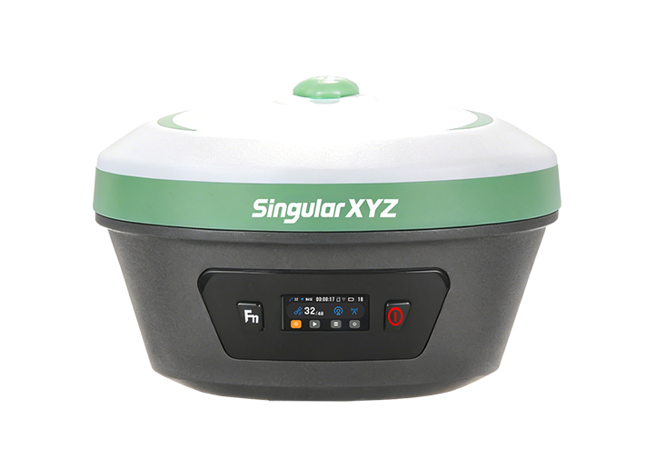
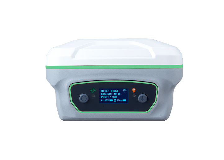
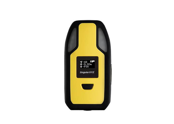
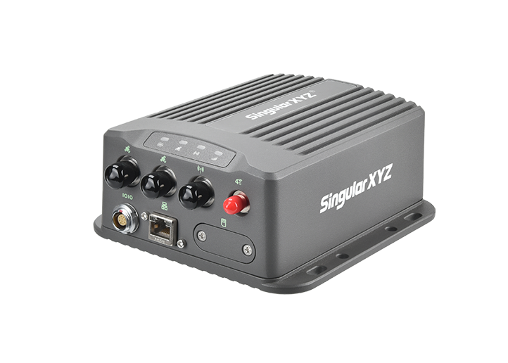
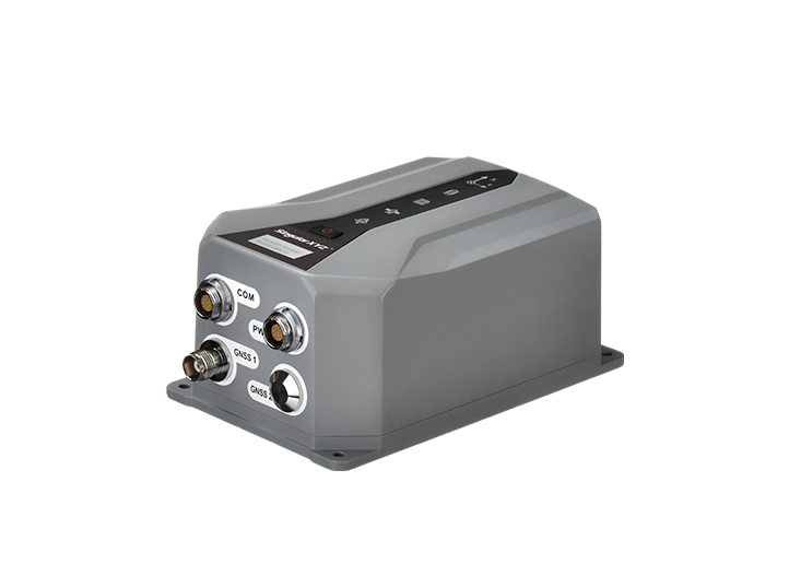
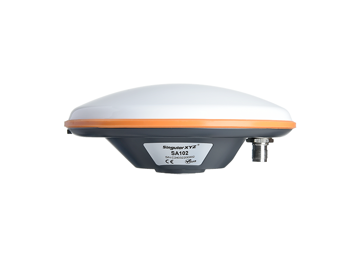
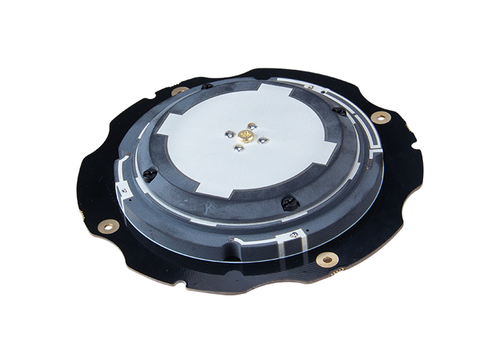
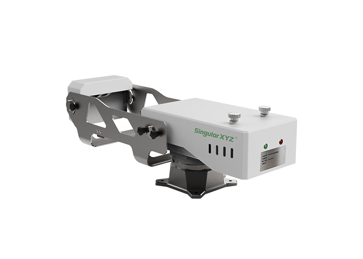
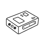
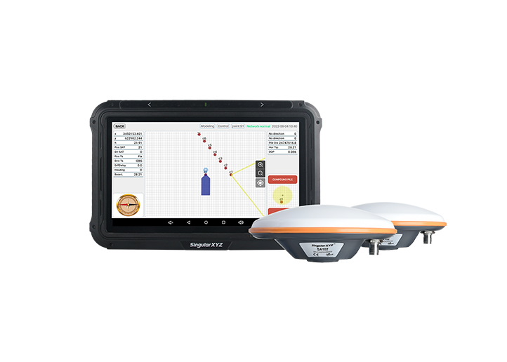
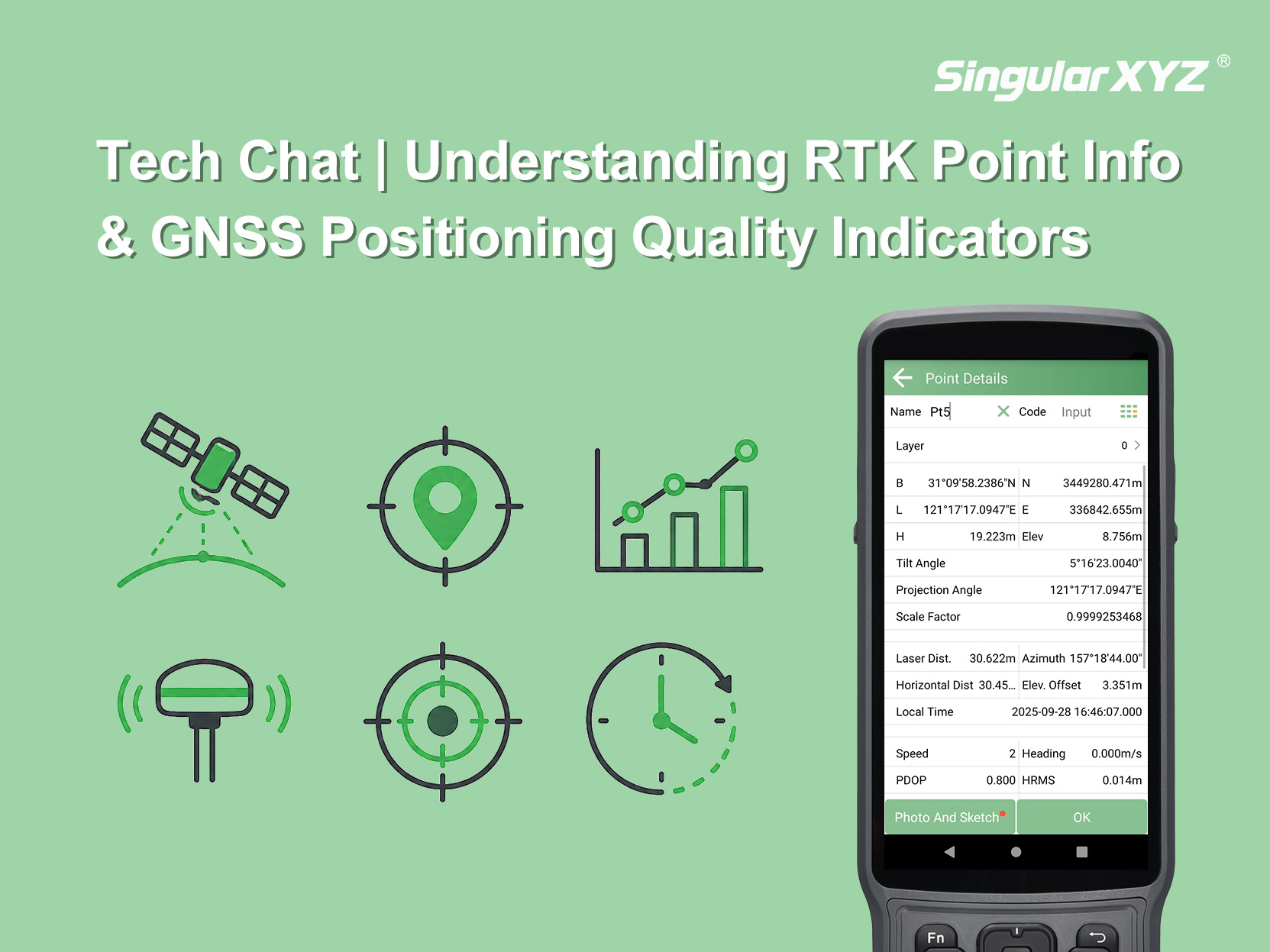
Tech Chat | Understanding RTK Point Information and GNSS Positioning Quality Indicators
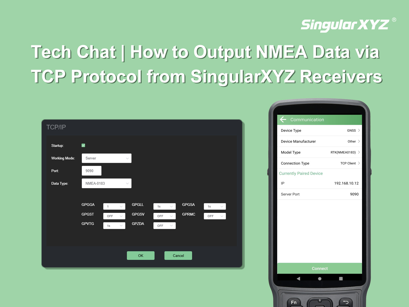
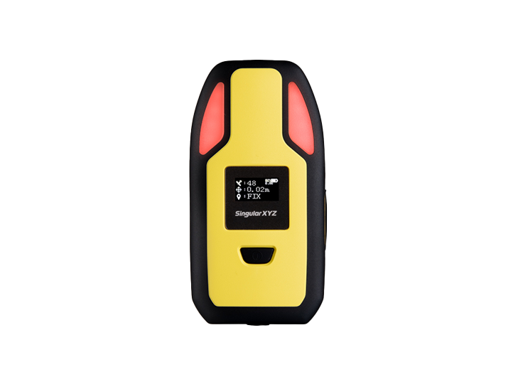
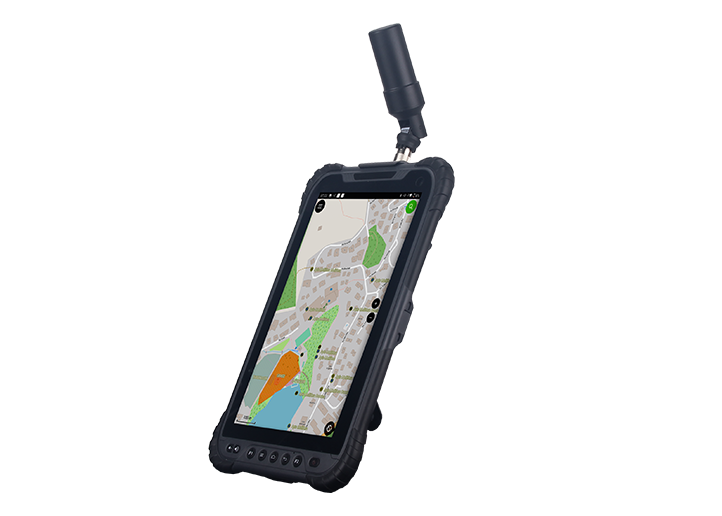
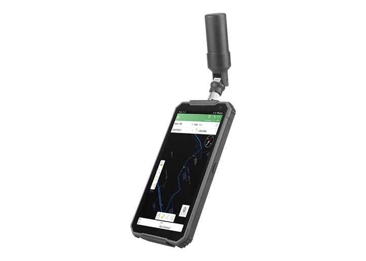
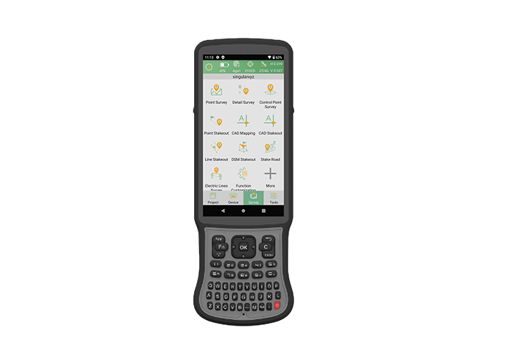
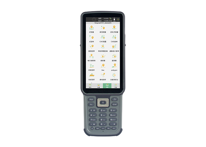
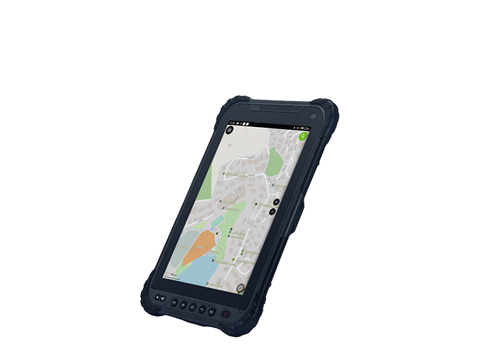
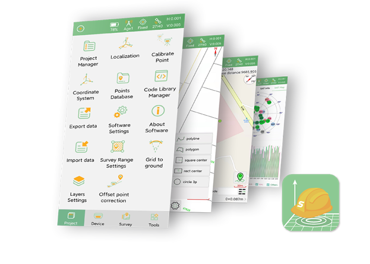
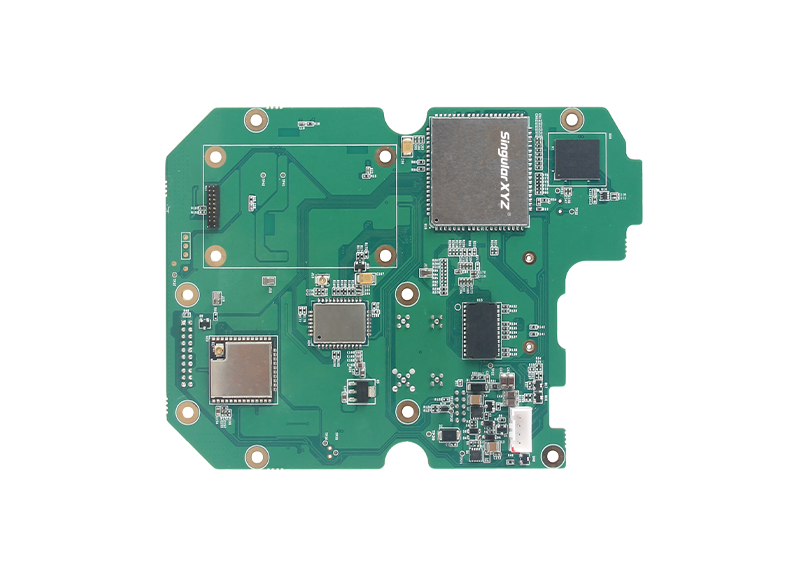
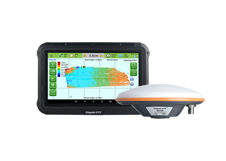
This blog uses the RTK point information interface in SingularPad as an example to explain the key indicators and how to interpret them.
learn more