


 Home
Home
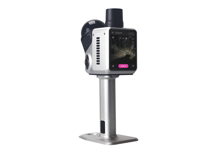
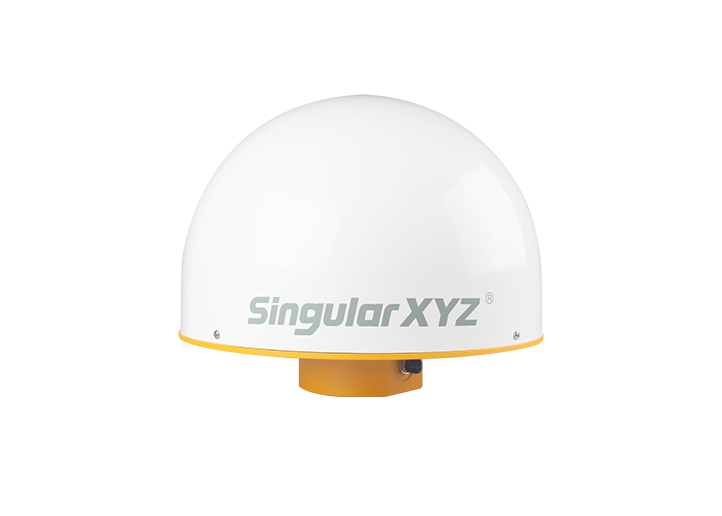
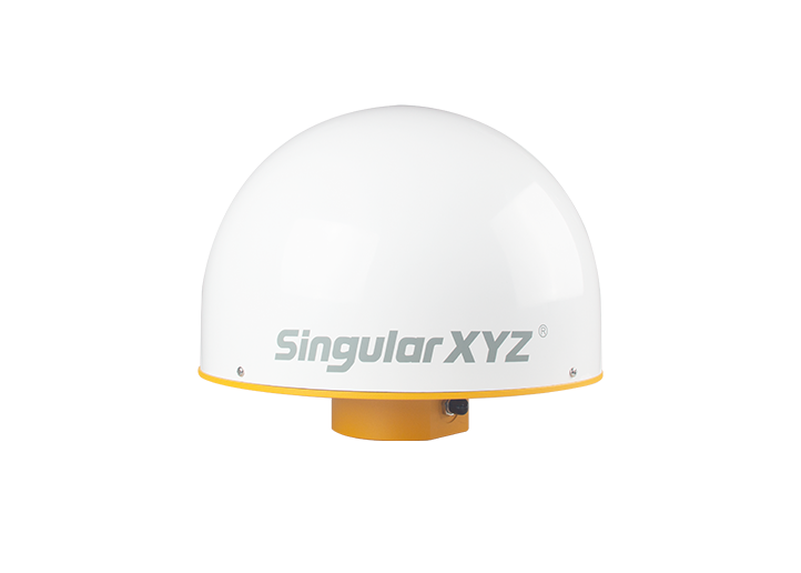
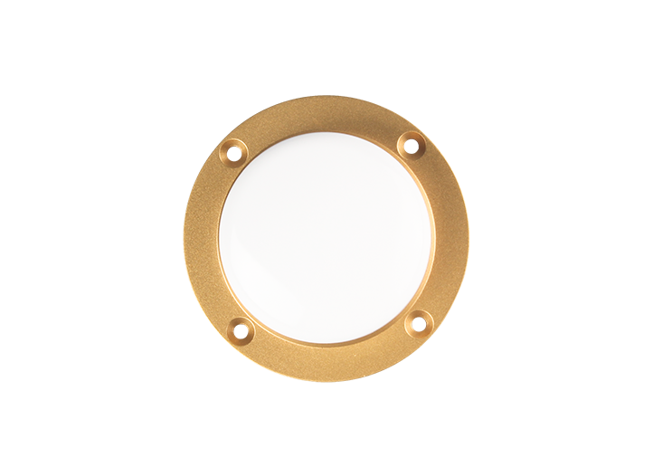
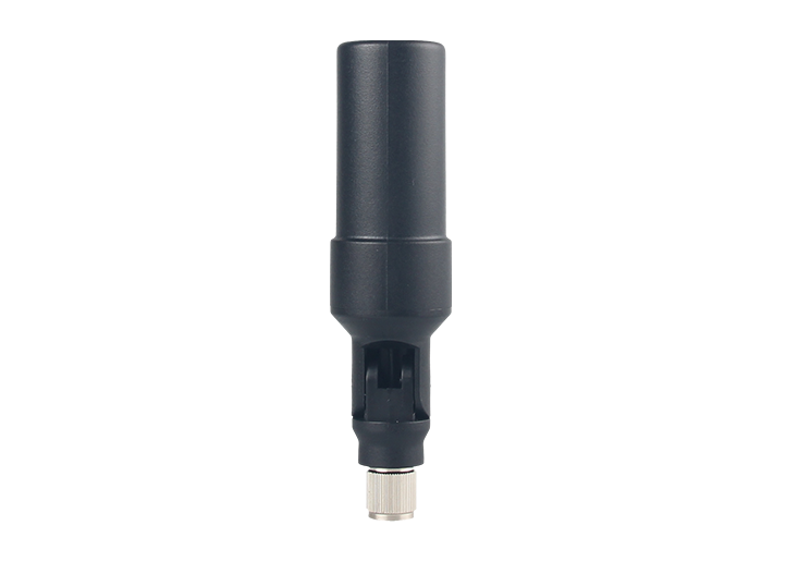
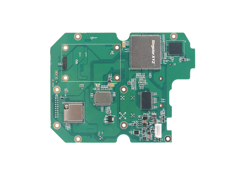
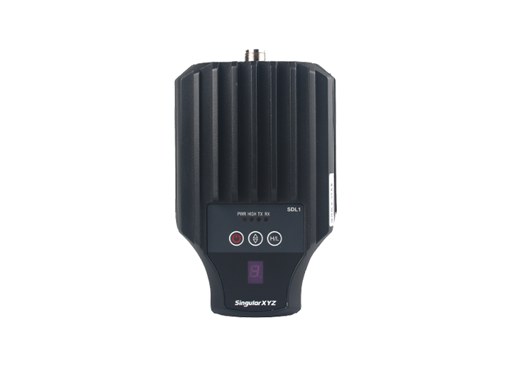
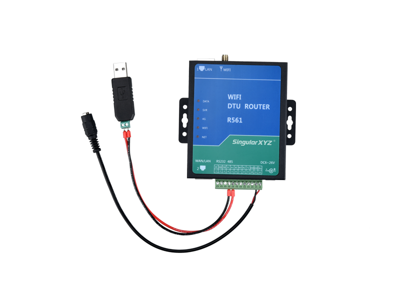
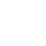
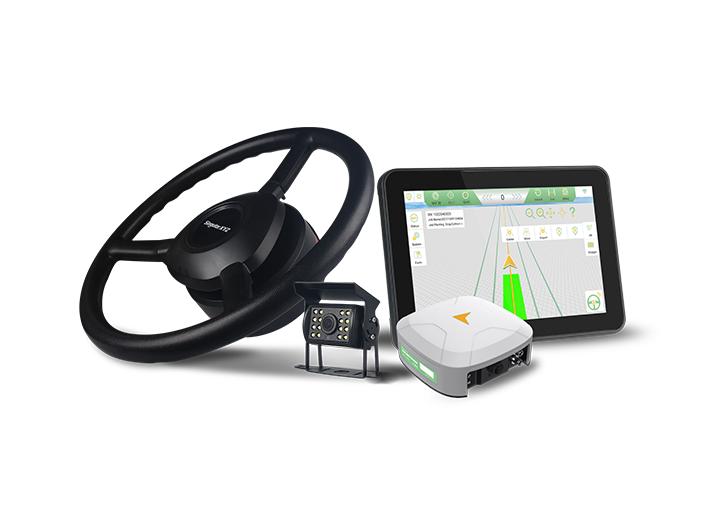
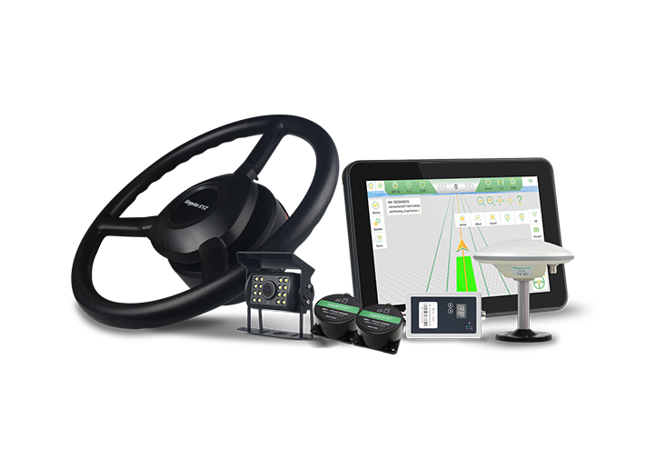
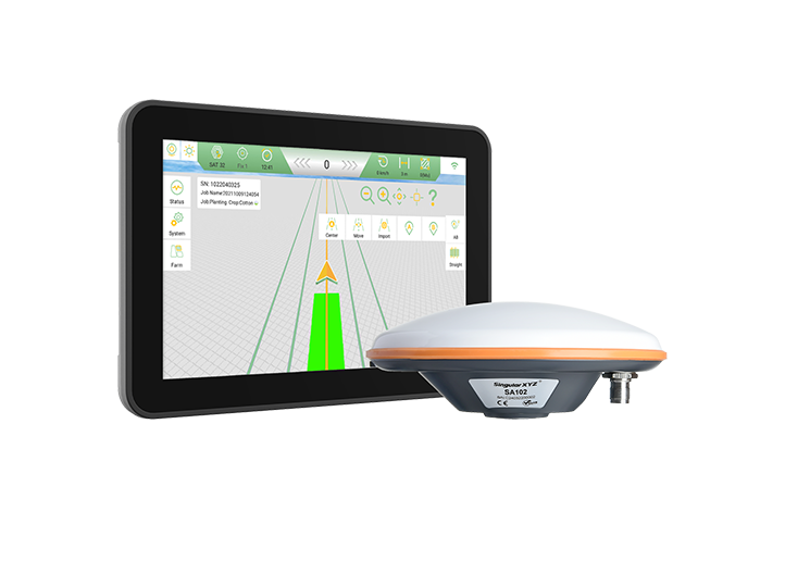
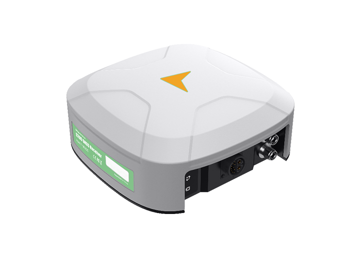
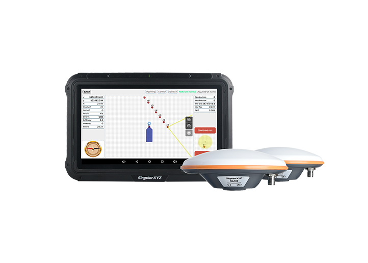
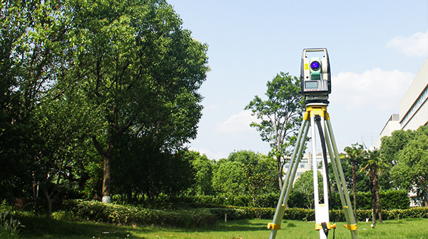
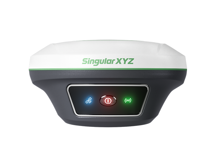
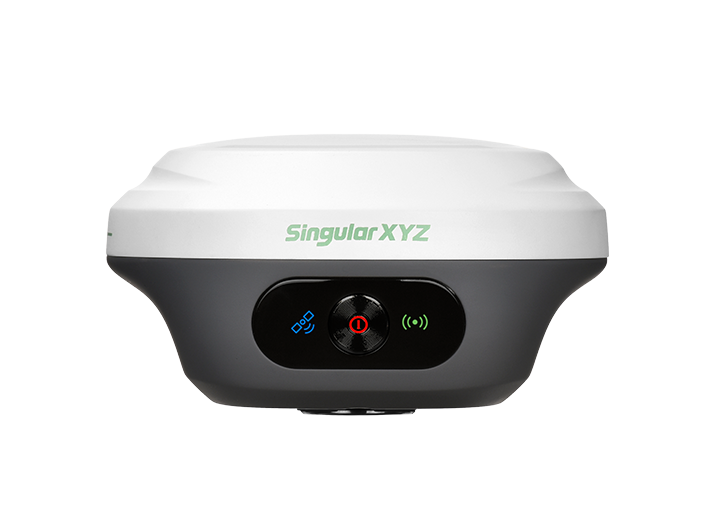
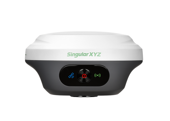
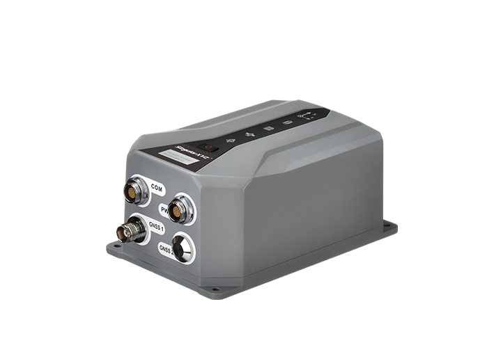
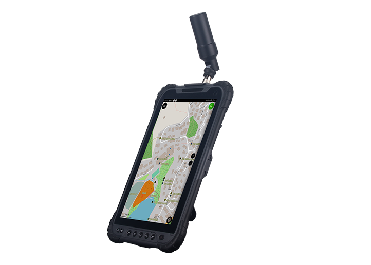
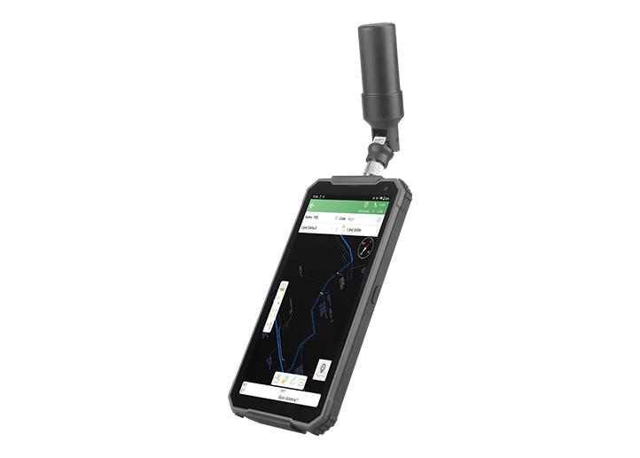
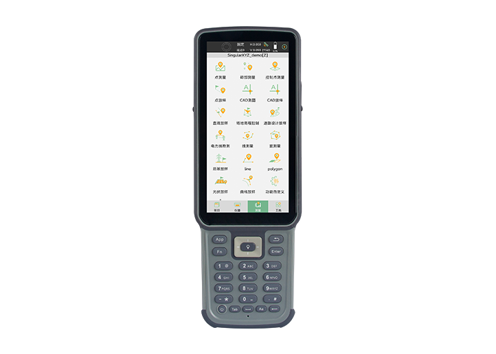
X1 GNSS Receiver
learn more


 2025-08-05
 Chloe
Chloe


When we talk about GNSS precision, most users think of satellites, corrections, or receiver quality. But one of the most overlooked — and yet crucial — factors lies in the very first link of the signal chain: the antenna.
Antenna calibration plays a vital role in eliminating systemic errors, especially in centimeter-level surveying. In this blog, we'll explore how GNSS antennas are calibrated, what role NGS certification plays, and why this process is more important than many realize.
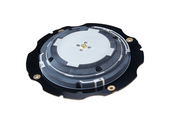
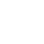
In any GNSS system, antennas receive signals from satellites via a point known as the phase center—an electromagnetic point where the signal is effectively measured. However, this phase center is not fixed or marked physically on the antenna, and it changes slightly depending on the signal's angle of arrival.
To correct for these biases and achieve precise positioning, antenna calibration is applied. It consists of two key components:
Phase Center Offset (PCO):
A fixed three-dimensional offset between the antenna’s reference point (typically the mechanical mounting point) and the average electrical phase center. It is defined along the North, East, and Up directions.
Phase Center Variation (PCV):
A set of corrections that model how the phase center changes depending on the signal’s azimuth and elevation angles.
These corrections help ensure that positioning calculations account for the actual physical characteristics of each antenna, which is especially important in high-accuracy applications such as geodetic control, static surveying, and base station deployment.
The National Geodetic Survey (NGS), a division of NOAA (National Oceanic and Atmospheric Administration), is responsible for maintaining the National Spatial Reference System (NSRS) in the United States. As part of its responsibilities, NGS provides standardized laboratory calibrations for GNSS antennas, ensuring reliable, traceable, and consistent antenna behavior models.
NGS operates a robotic calibration system that produces precise PCO and PCV values for various GNSS antenna models. These values are published in official formats (such as ANTEX and ANTINFO) and made publicly available for use in GNSS software and post-processing systems.
By adopting antenna models calibrated by NGS, survey professionals and institutions can align with national standards and enhance positioning accuracy in workflows that require it.
NGS's antenna calibration process is carried out under controlled conditions, typically within a multipath-free environment or anechoic chamber. The procedure generally follows these steps:
1. Mounting and Setup:
The test antenna is mounted alongside a reference antenna whose behavior is well known.
2. Simulation of Signal Directions:
A robotic system rotates the test antenna through various azimuth and elevation angles to simulate satellite signal paths.
3. Differential Measurement:
Measurements are made between the test and reference antennas to capture the phase center behavior.
4. Data Processing:
From these measurements, the system computes both the PCO and the PCV values for each GNSS frequency.
5. Calibration File Generation:
The results are stored in standardized formats, primarily ANTEX (.atx) and ANTINFO (.txt), which can be imported into processing software.
These calibration values enable users to correct for antenna-induced variations and improve the accuracy and consistency of GNSS-derived coordinates.
NGS-calibrated antennas are widely used in workflows where traceability and reduced measurement uncertainty are required. Examples include geodetic network establishment, CORS deployment, large-scale infrastructure surveys, and scientific applications.
When used in conjunction with calibration files, such antennas allow software to more accurately model signal behavior, helping reduce position error caused by uncorrected antenna bias.
In some public-sector or regulated environments, the use of antennas with published calibration data is preferred or required to maintain compatibility and interoperability across datasets.
While not all applications require NGS calibration, having access to standardized correction data can enhance the defensibility of positioning results, particularly in static and post-processed environments.
NGS maintains a public database of antenna calibration models:
https://www.ngs.noaa.gov/ANTCAL/#
Select the manufacturer/brand in the top bar, for example "SIT -SingularXYZ Intelligent Technology". You will then find a list of the antenna models you need.

Download the calibration files of the corresponding model:
ANTINFO (.txt): A summary file showing basic PCO and PCV values
ANTEX (.atx): A detailed file with frequency-specific and directional correction models
These calibration models are publicly listed and can be applied during post-processing or integrated into RTK base station setups.

Antenna calibration plays a key role in high-precision GNSS work. By understanding how phase center behavior affects measurement results—and by applying standardized calibration models —survey professionals can improve the consistency, traceability, and accuracy of their positioning outputs.
In the next chapter, we will include more details about the NGS calibration files—the ANTEX and ANTINFO file—how to interpret the file structures and apply them in real workflows.