


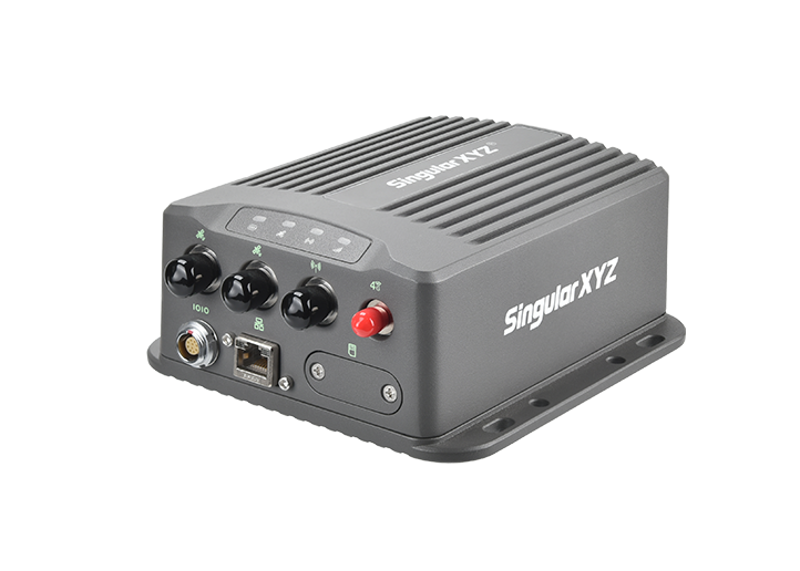
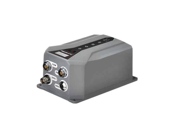
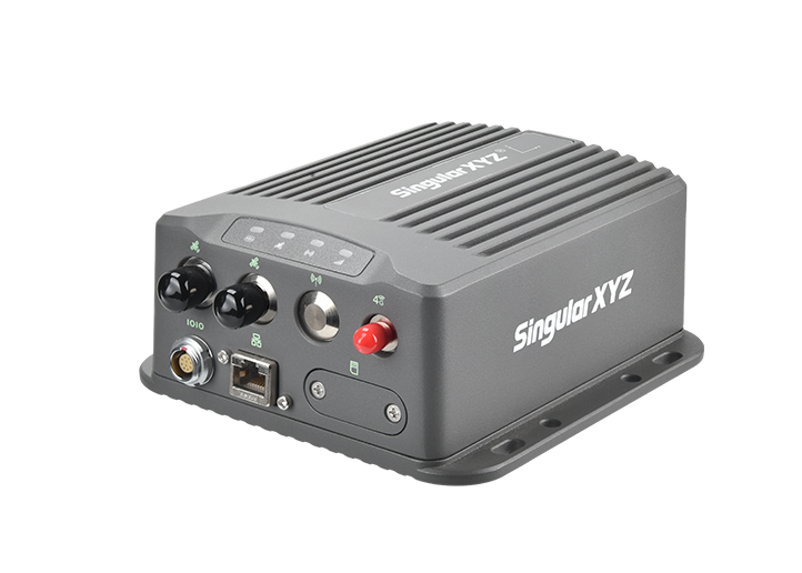
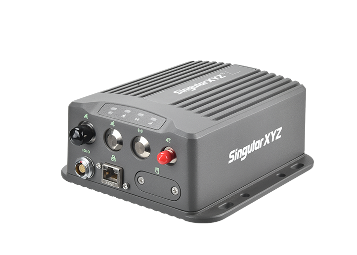


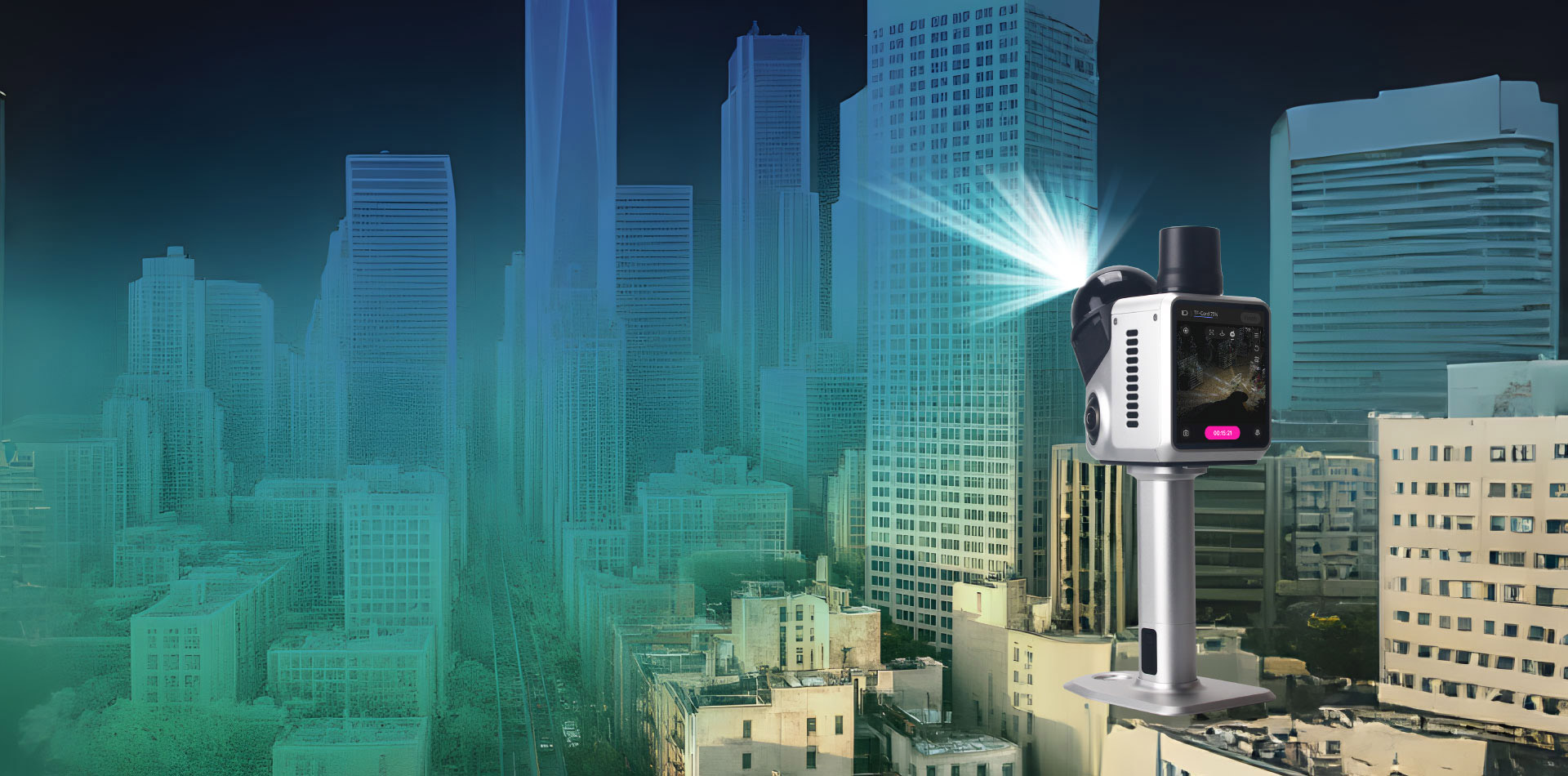
 Home
Home

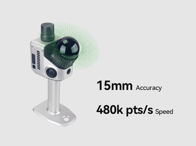
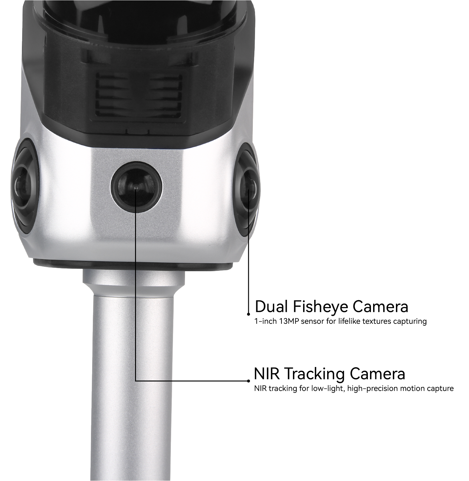
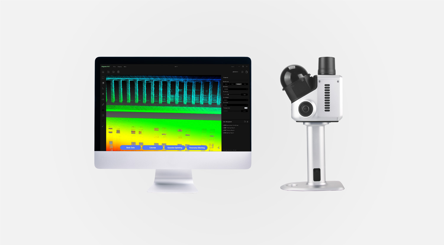
Dense & Precise Point Cloud
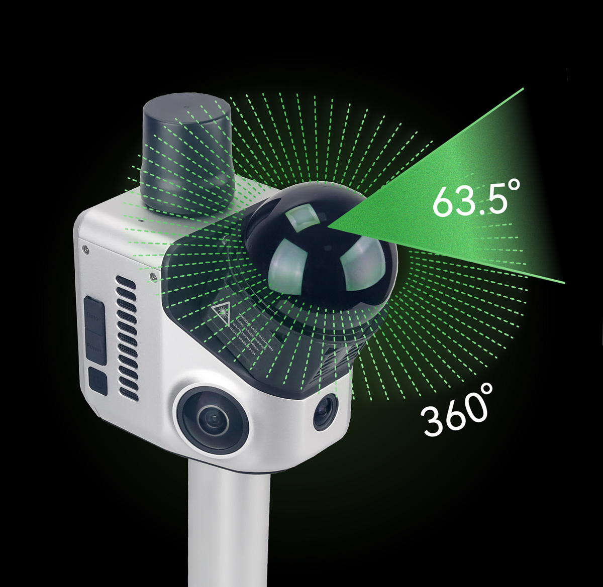
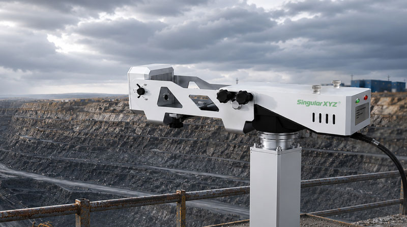
Equipped with a high-performance LiDAR system, the H1 supports 480,000 points per second scanning rate and 15mm accuracy at 10m range and 3cm accuracy at 20m range, delivering superior precision and efficiency.
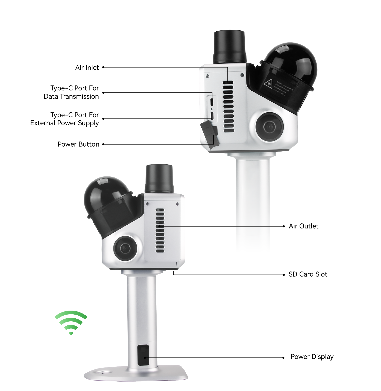
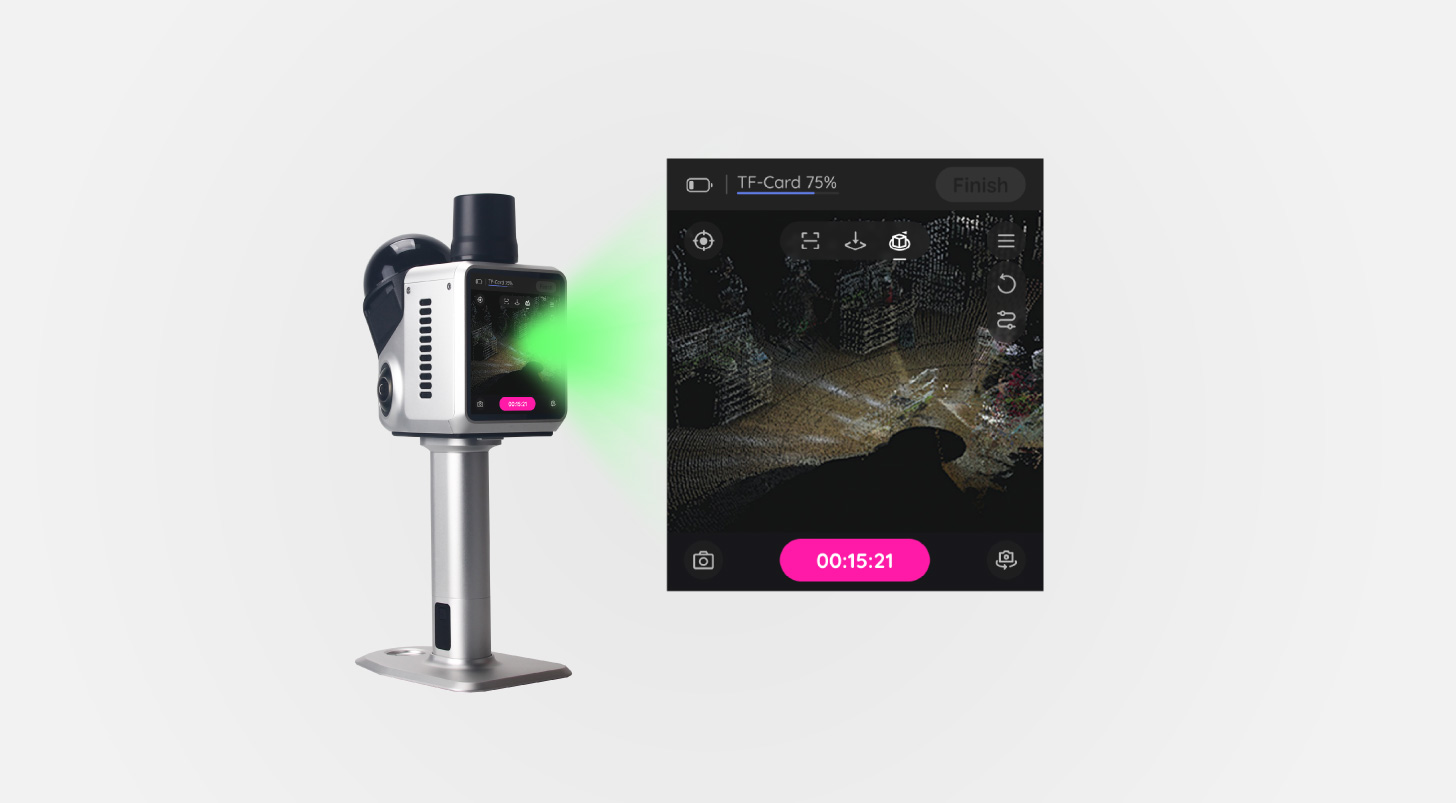
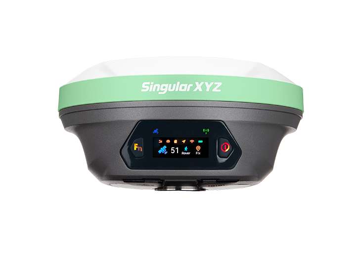
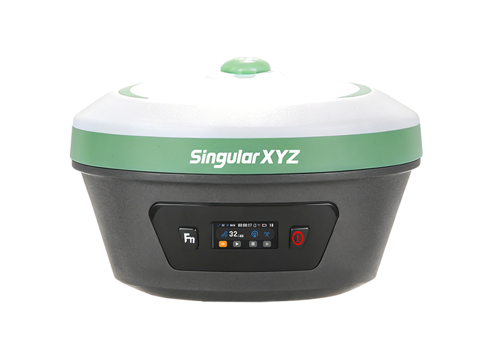
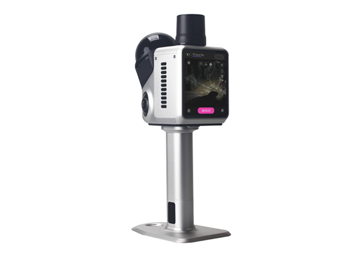
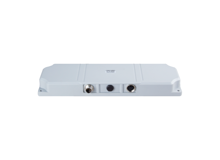
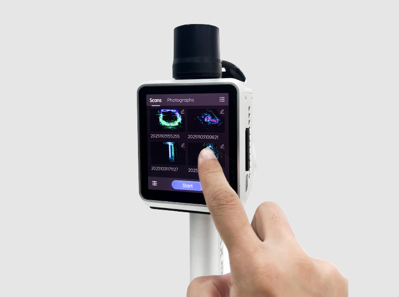
Built-in 3.9” Screen & Software
With the integrated 3.9” AMOLED touchscreen and onboard real-time point cloud viewer, users can monitor scanning progress, validate data quality, and adjust parameters in the field — no additional controller required.
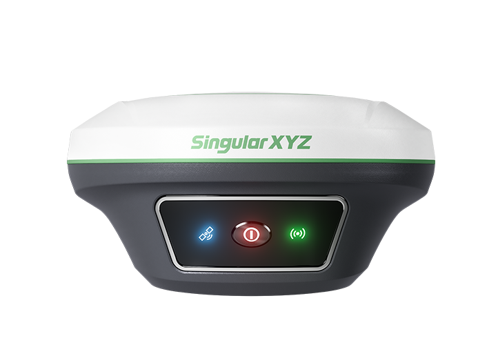
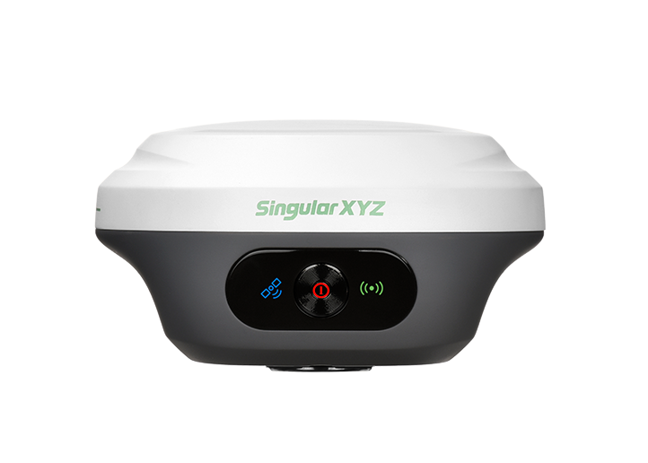
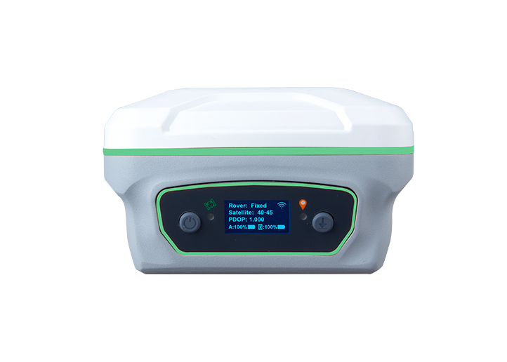
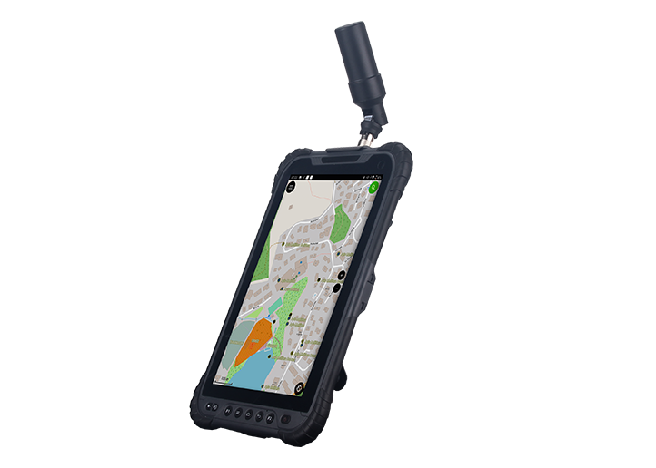
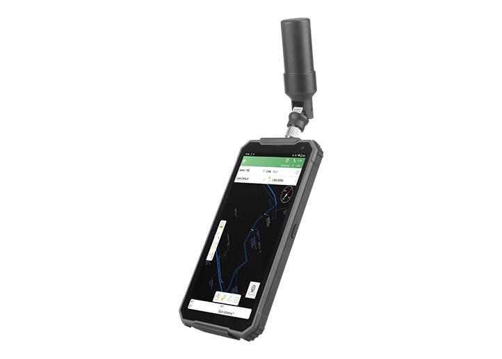
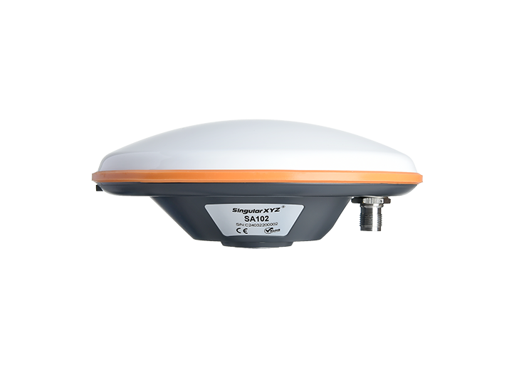
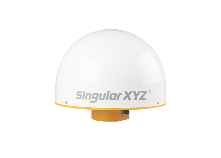
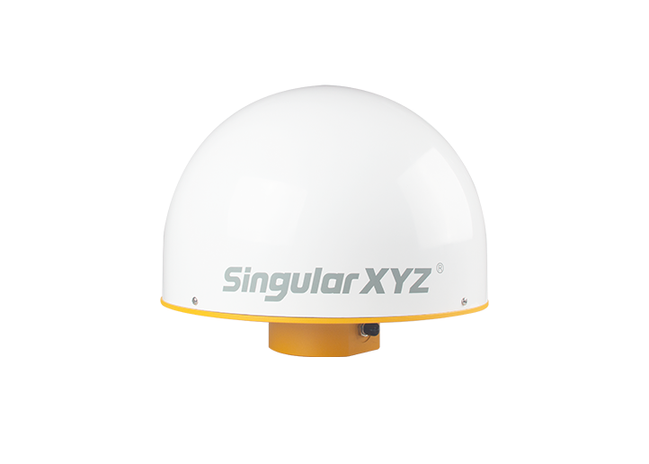
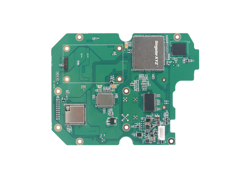
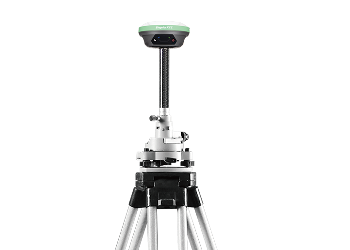
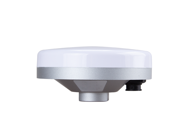
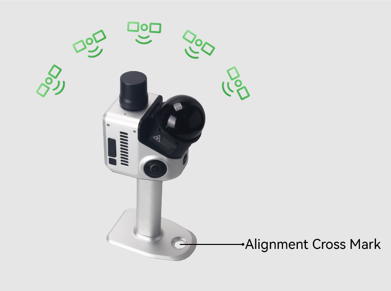
Integrated GNSS RTK & SLAM
Beyond its high-precision LiDAR capabilities, the H1 integrates full-constellation RTK technology to deliver centimeter-level absolute positioning, ensuring your scan data aligns accurately with real-world coordinate systems.


Dense Point Cloud


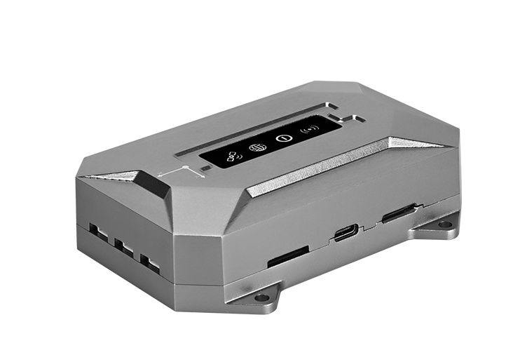
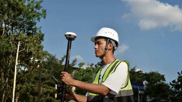
All-in-One Design


SLAM + GNSS