


 Home
Home
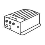
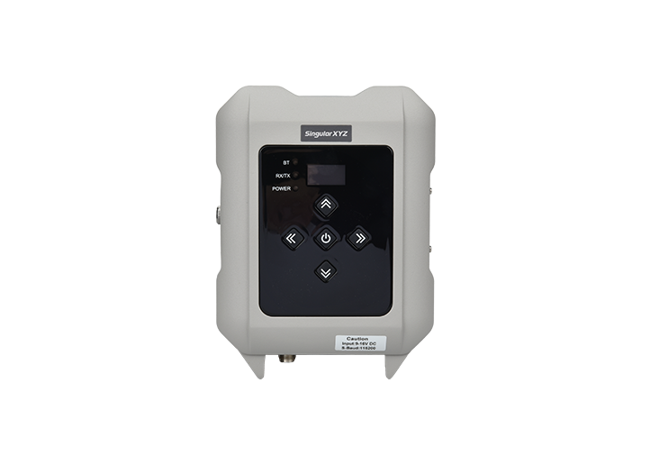
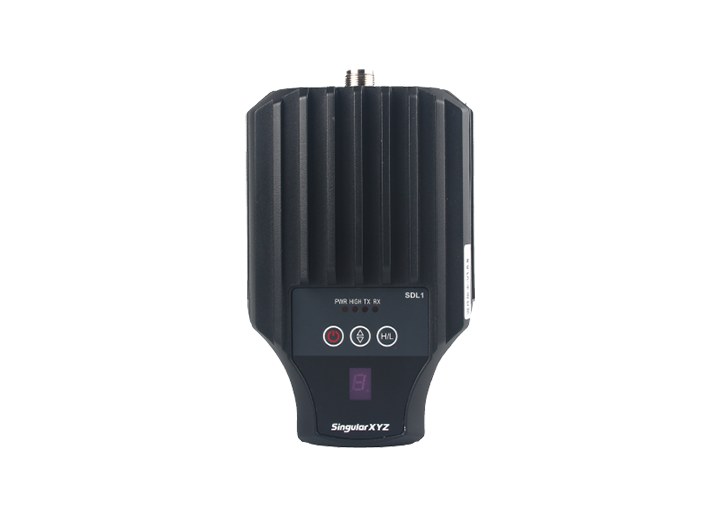
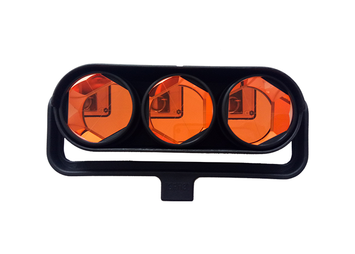
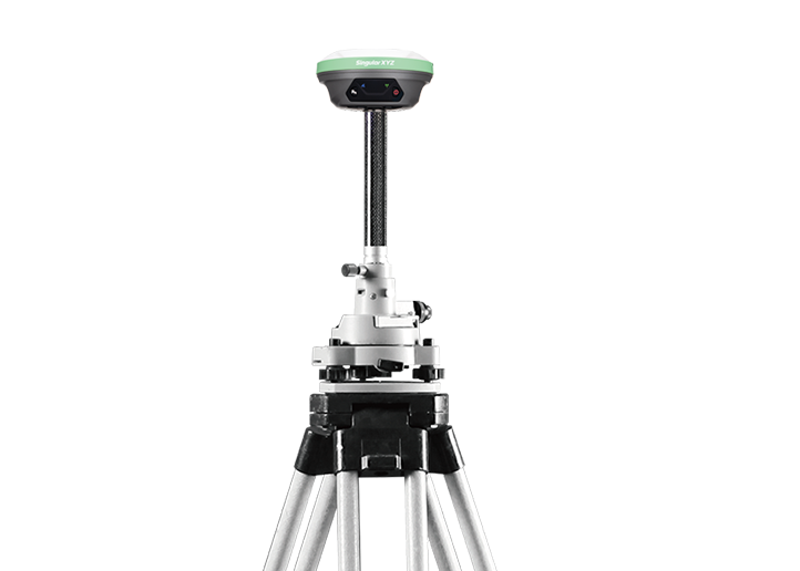
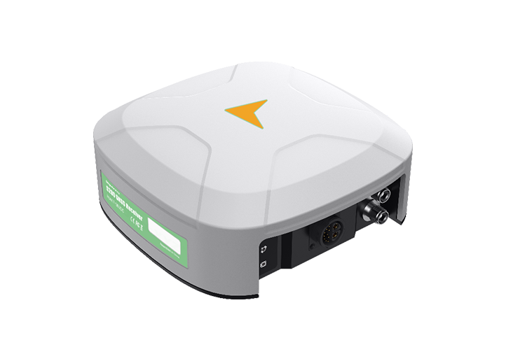
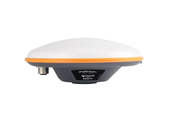
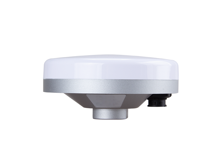
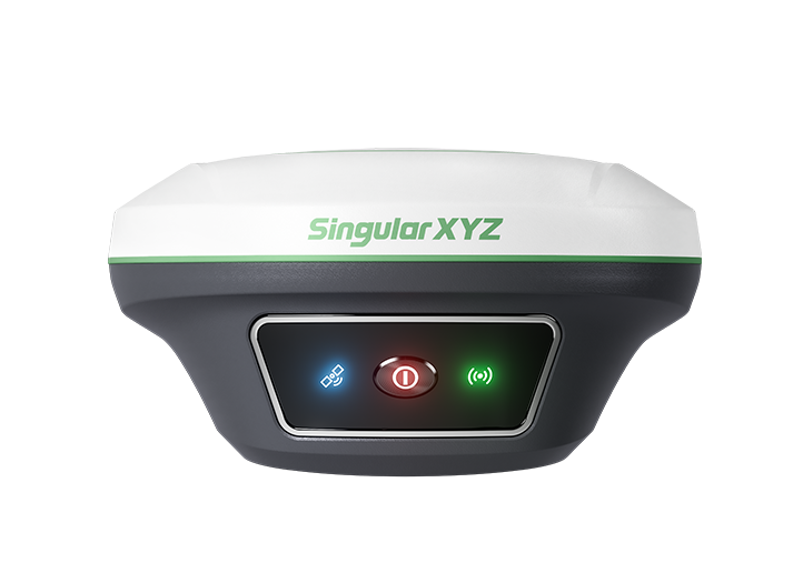
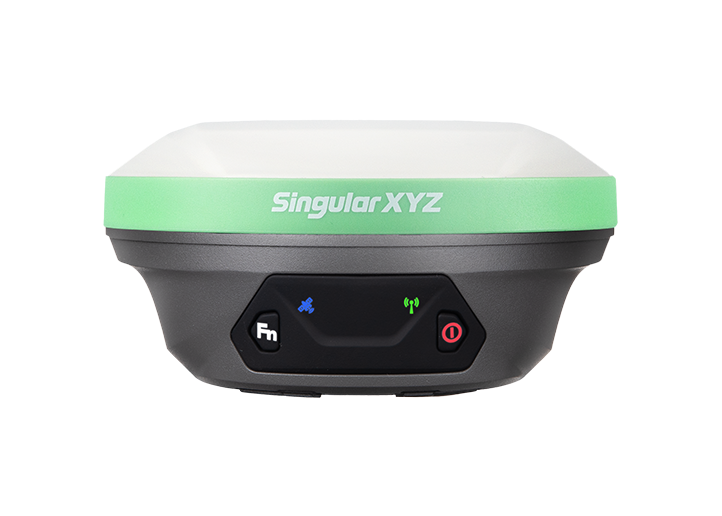
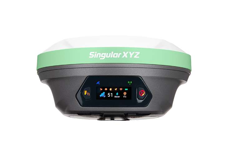
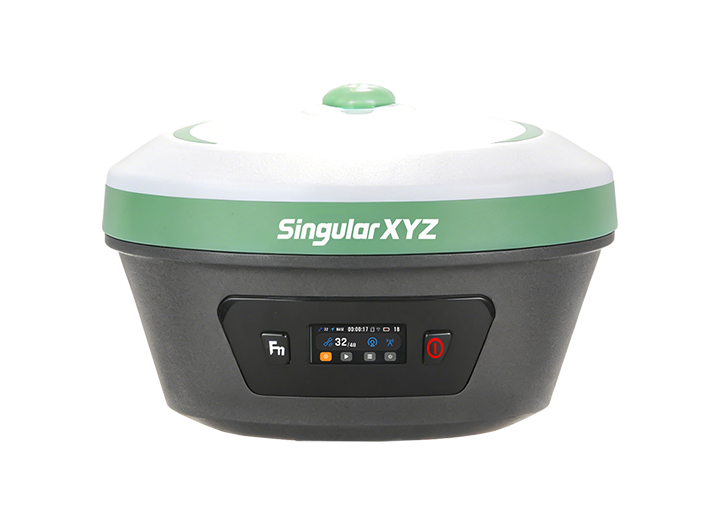
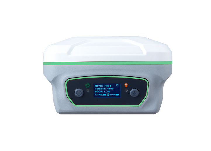
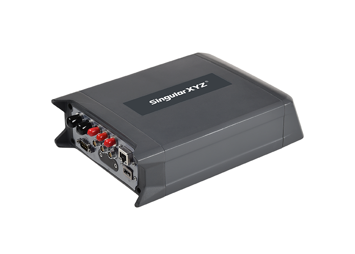
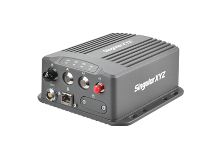
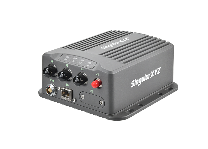
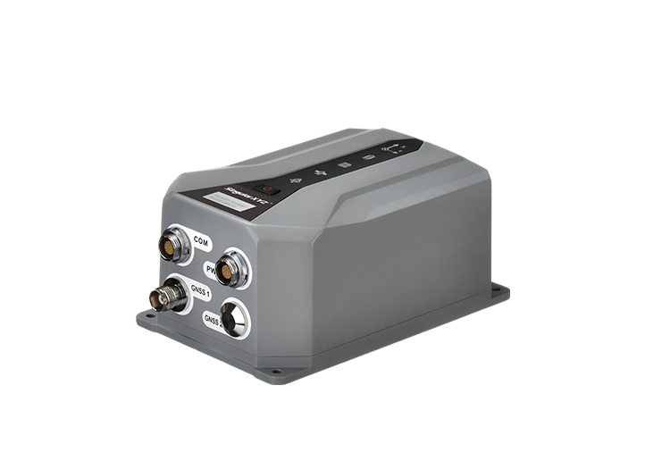
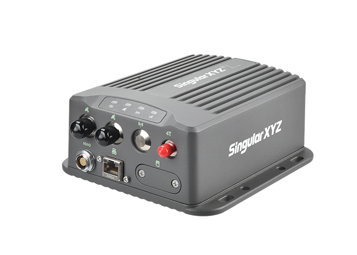
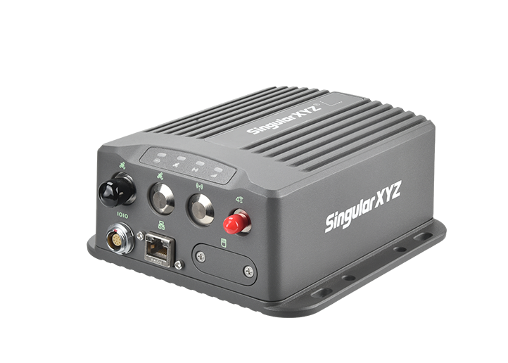
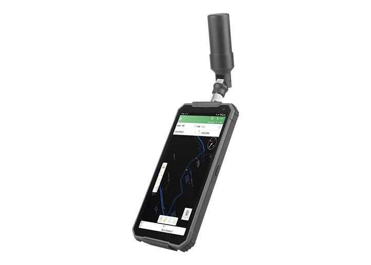
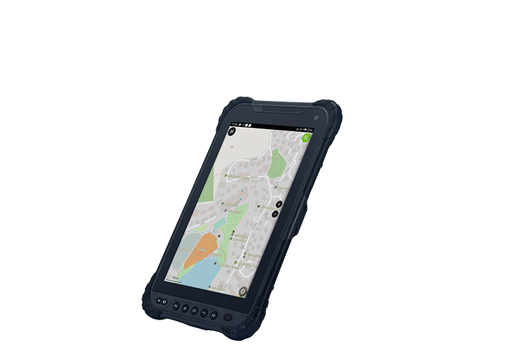
Orion ONE
GNSS Receiver
GNSS Receiver
learn more


 2025-09-16
 Satoshi


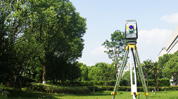
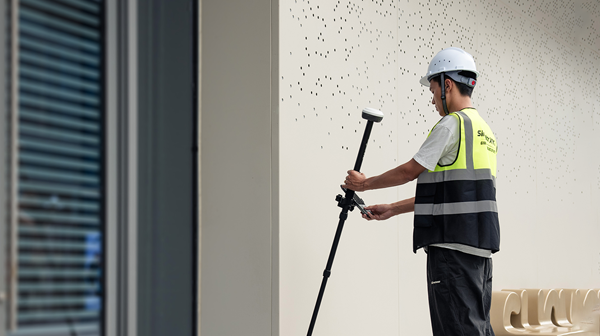
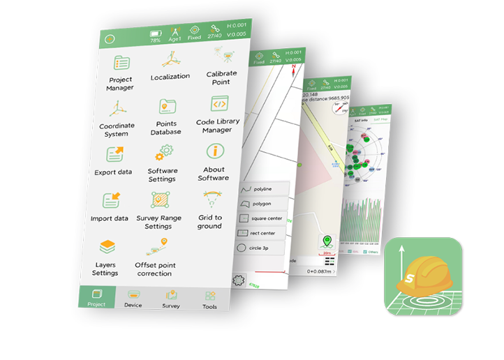
When conducting surveys, even small errors in base station coordinates can affect the accuracy of your measurements. To address this, most surveying software provides a function called Calibrate Point/Grid Shift. But do you know when you should use it and why it's necessary? This blog will guide you through it.
For readers interested in related concepts like grid shifts and coordinate adjustments, check out our previous posts:
Tech Chat | Three Coordinate Adjustment Methods: Localization, Calibrate Point & Post-Measure
Tech Chat | How to Make Your Surveying More Accurate? - Importance of Grid Shift
If a prompt appears while conducting a point survey, it's a signal that you should perform a Calibrate Point.

Another common scenario is during a point stakeout, when each point shows a fixed error of several centimeters—or even meters. This usually happens because the base station's position has shifted. In such cases, performing a Calibrate Point is necessary to correct the errors.
You might wonder: "CORS uses network-based base stations, so why does this prompt sometimes appear?"
The reason is that your CORS may have VRS (Virtual Reference Station) functionality. For more details on VRS, you can refer to our earlier post: Tech Chat | What is VRS and its advantages?
Don't worry—if your measurement results are correct, you can safely ignore the prompt or even turn it off by selecting the corresponding option.

However, if you notice errors ranging from several centimeters to meters in your measurements, it's a clear sign that a Calibrate Point operation is needed.
The core reason for using Calibrate Point is simple: your base station's coordinates have changed.
Some may ask: "I set up the base station on a known point—it didn't move. Why do the coordinates change?"
Even a slight deviation in the actual position of the base station can create a mismatch between the real coordinates and the recorded coordinates. This small discrepancy can translate into noticeable errors in your survey results.
Pro tip: Perform a Calibrate Point operation every time you power the device on or off, and before starting each project. This practice helps avoid minor errors and ensures consistent accuracy. Developing this habit is highly recommended for every surveyor.
Calibration points are your safeguard against errors caused by subtle shifts in base station coordinates. Whether in Radio Mode or CORS Mode, knowing when and why to use this function will help you maintain precise measurements and improve surveying efficiency.