


 Home
Home
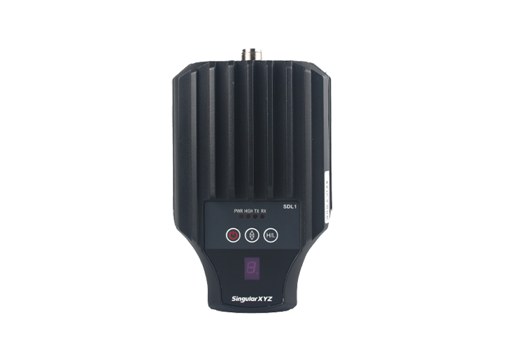
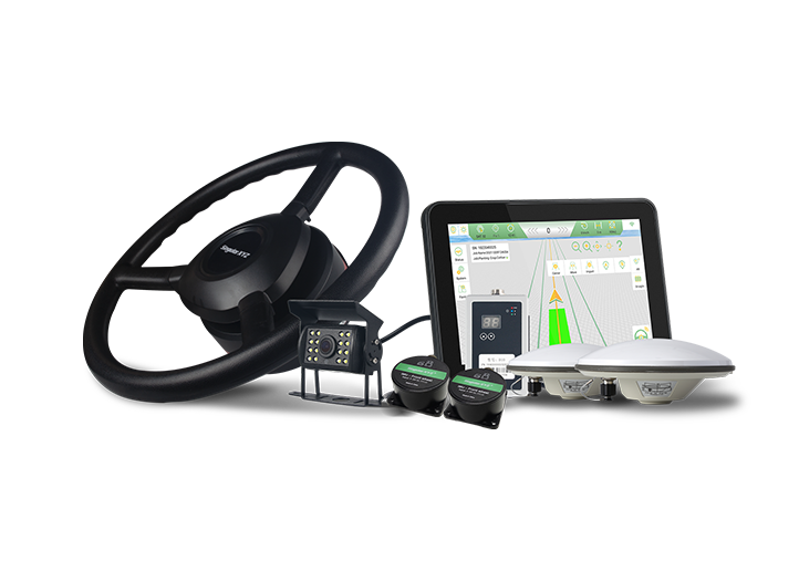
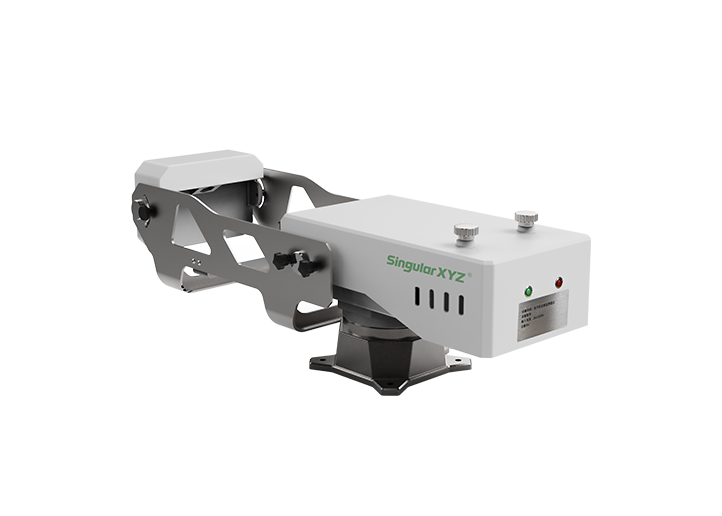
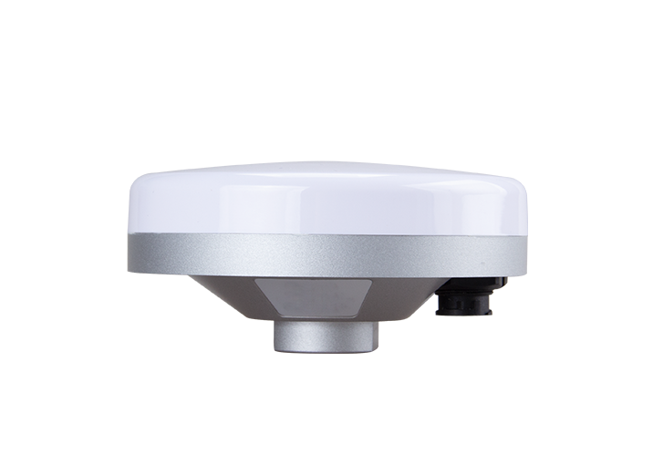
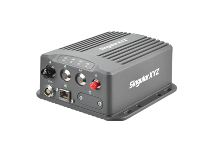
Orion ONE
GNSS Receiver
GNSS Receiver
learn more


 2025-08-12
 Gus
Gus


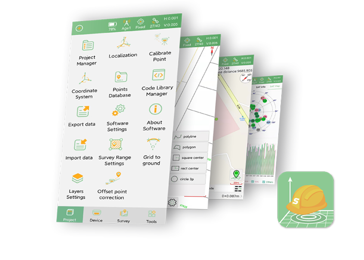
In daily measurement work, we may often need to change the coordinates - like local coordinates conversion or base reference shift. Our SingularPad field surveying software provides three methods to achieve this: Localization, Calibrate Point, and Post-Measure Correction.
In this blog, let me introduce the differences between these three functions so that you can know when to use which method.
When you need to convert from a geodetic coordinate system to a local small-scale coordinate system, use Localization.
Requirement: At least three known points in the local coordinate system.
How to use:
Measure at least three points in the local coordinate system.
Open the Localization function.
For each point, pair the known local coordinate with the measured coordinate of the same point.
Add at least three such pairs.

Select the conversion method and accuracy limit.

After completing these steps, the coordinate system of the entire project will be changed accordingly.
If your base coordinates need adjustment, use Calibrate Point. This will modify the base coordinates, and all points measured after calibration will use the updated base.
How to use:
Enter the GNSS point coordinates and the known point coordinates.
The software will display the results: Adjustment Time, Offset North, Offset East, and Height.
You can apply these calibration parameters to the entire project if needed.

When measurement is complete but the base station coordinates for certain points need to be changed, use Post-Measure Correction.
How to use:
Select the start time and end time.
The software will list all measurement points within this period, grouped by base station.
Select the coordinates you want to update.
Enter the GNSS point coordinates and the known point coordinates.
Click OK to update the base station coordinates for those selected points.

| Method | Calibrate Results |
| Localization | Correcting coordinates by changing the coordinate system will affect the coordinates of the entire project |
| Calibrate Point | Changes the base station coordinates; affects only points measured after the calibration |
| Post-Measure Correction | Updates base station coordinates for selected points only, which will only affect the selected point |
With these three functions, you can flexibly manage and adjust coordinate systems based on different scenarios. Understanding the differences will help you apply the right method and ensure measurement accuracy.