


 Home
Home

Case Study
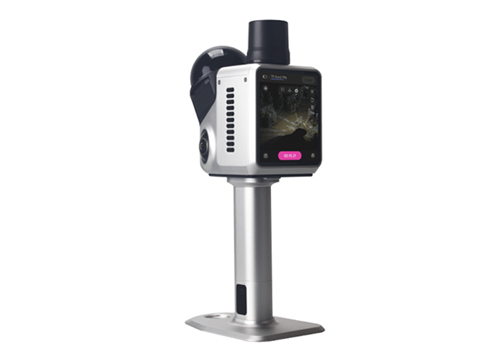
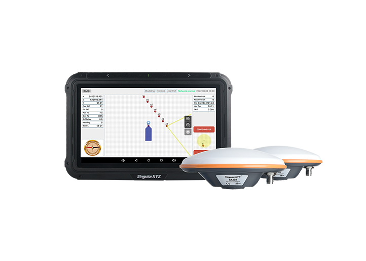
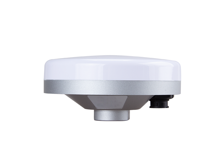
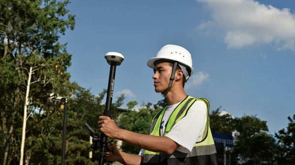
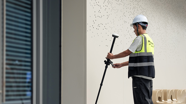
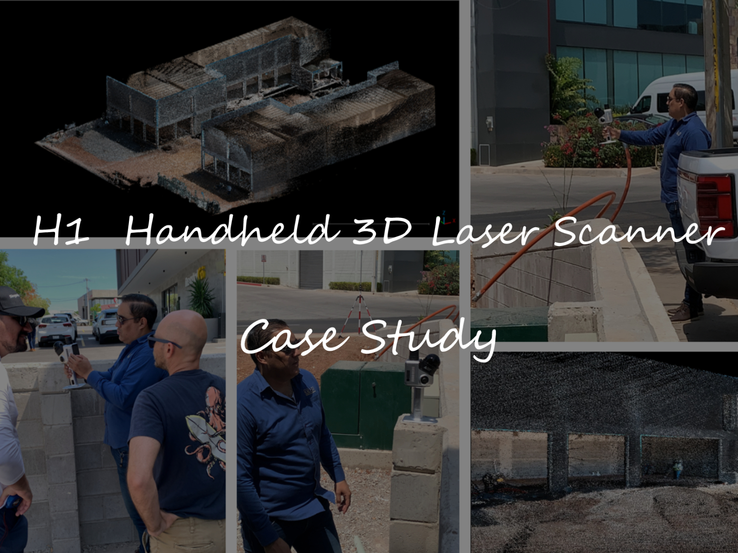
Case Study | Progress Monitoring based on LiDAR SLAM technology with H1 for Construction Project in Culiacán, Mexico
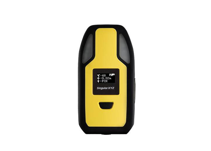
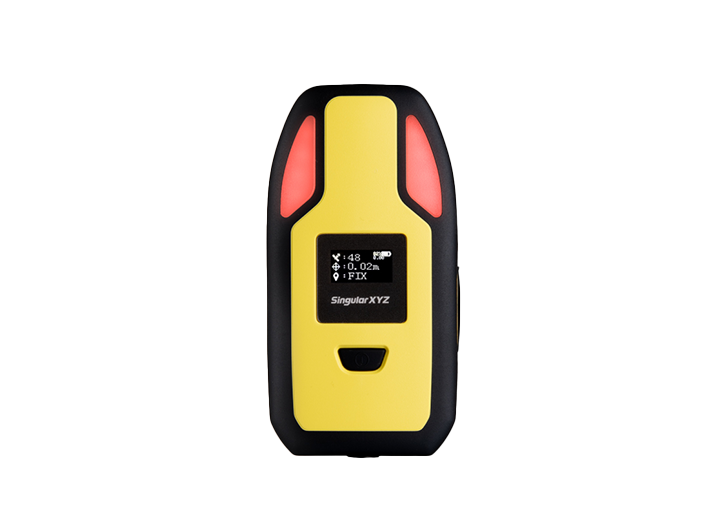
The H1 Handheld 3D Laser Scanner combines LiDAR SLAM and integrated GNSS technology to deliver fast, accurate, and georeferenced 3D reality capture.
learn more