


 Home
Home

Geospatial
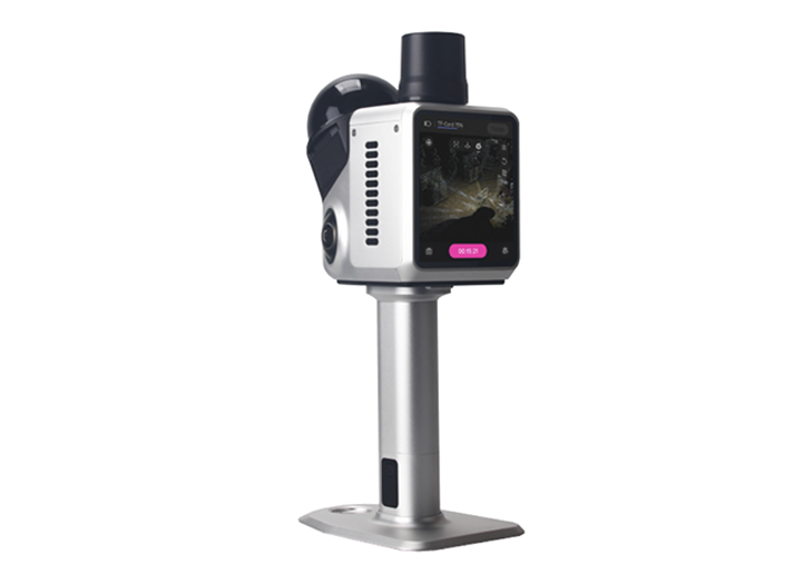
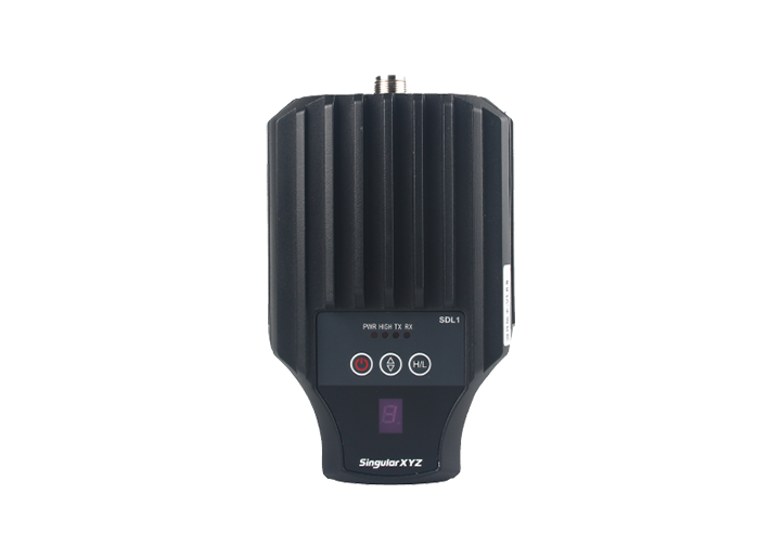
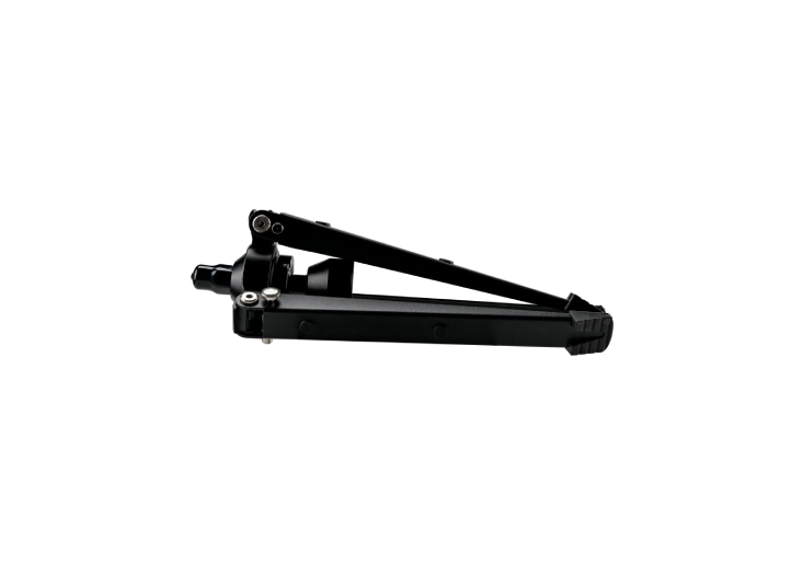
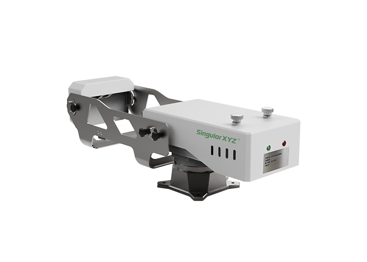
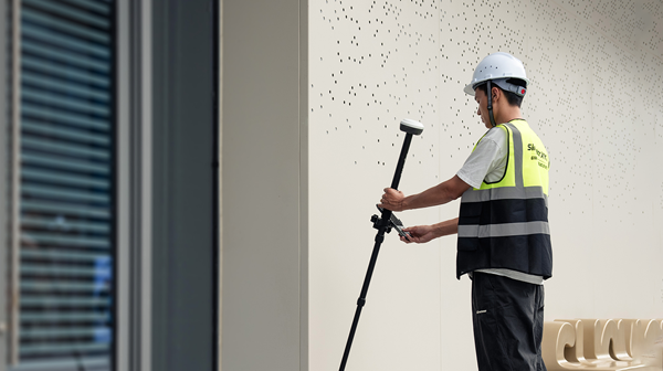
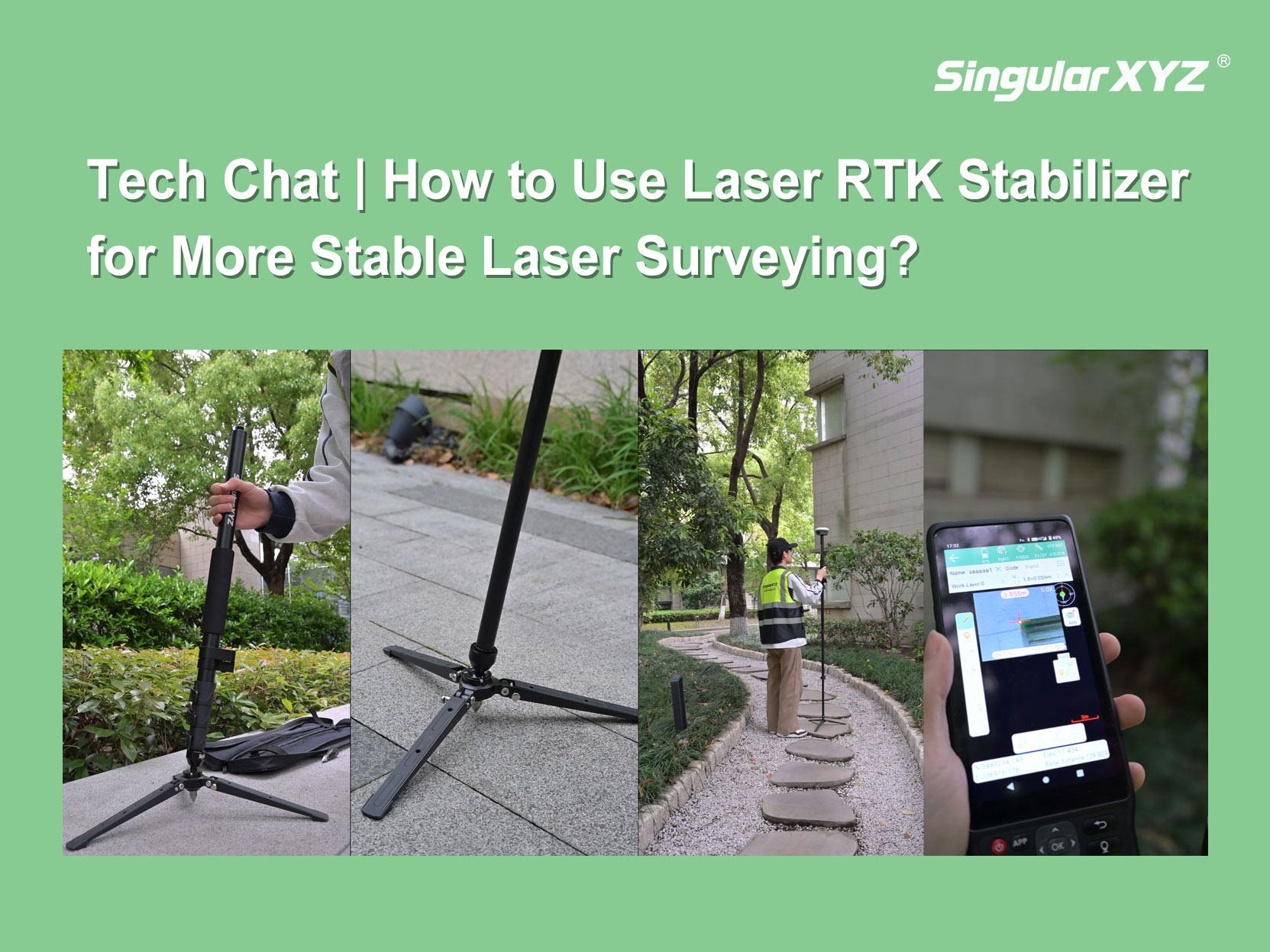
Tech Chat | How to Use the Laser RTK Stabilizer for More Stable Laser Surveying?
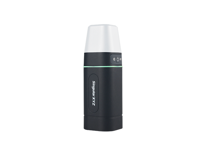
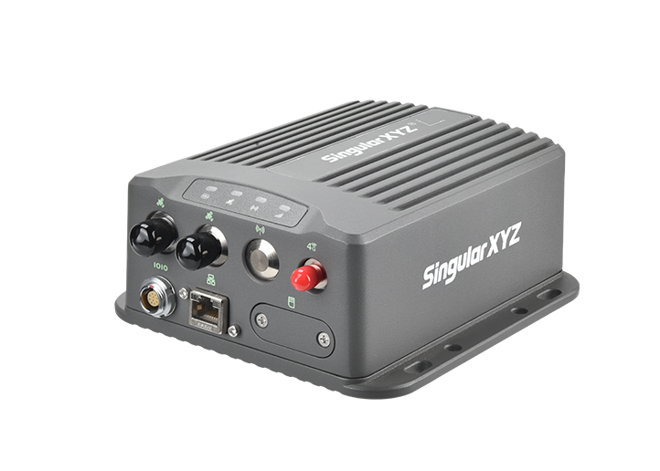
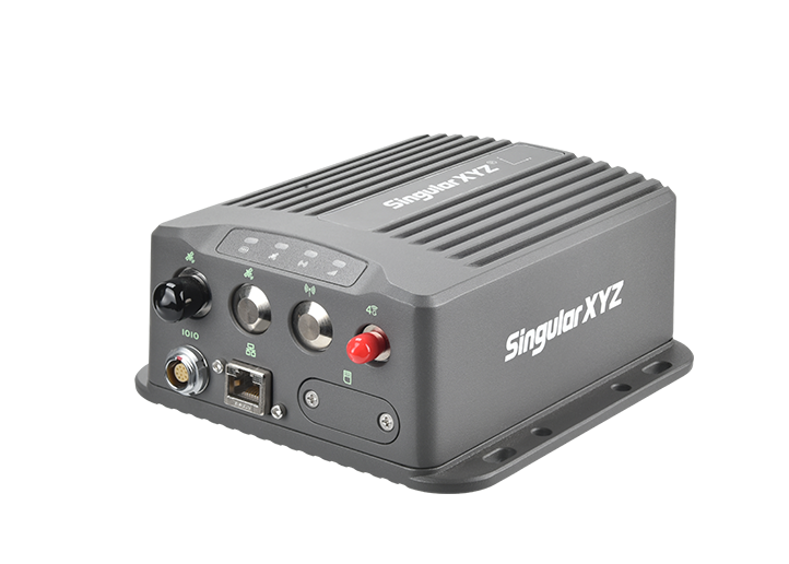
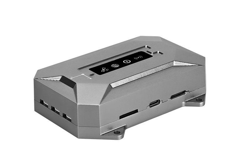
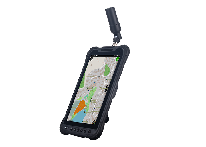
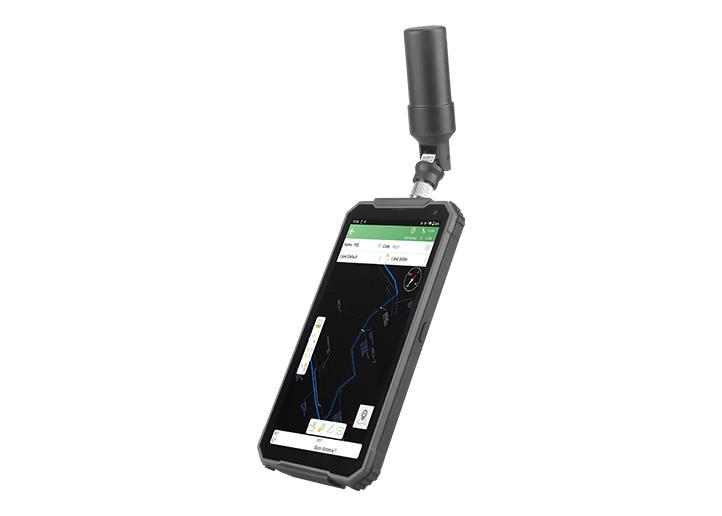
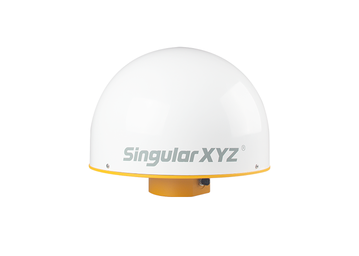
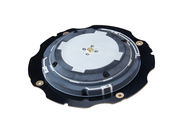
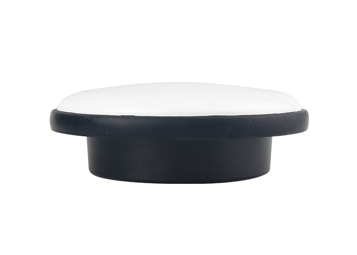
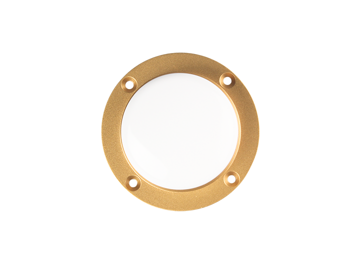
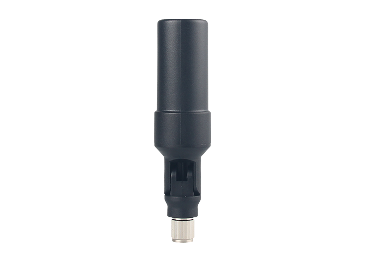
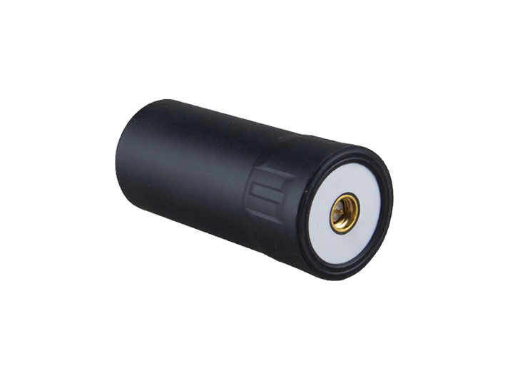
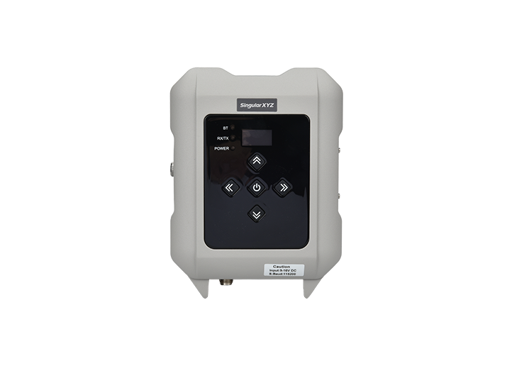
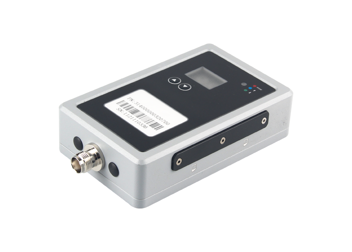
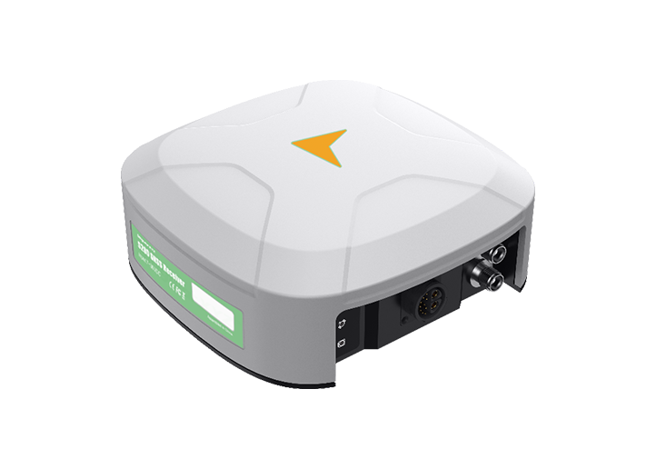
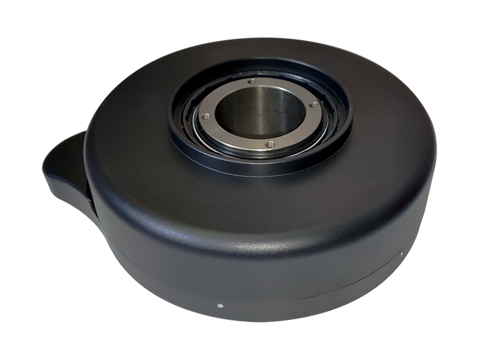
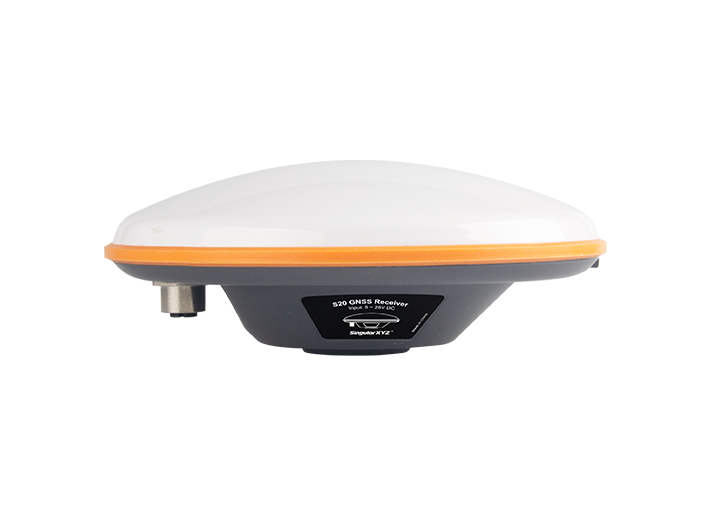
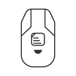
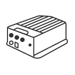
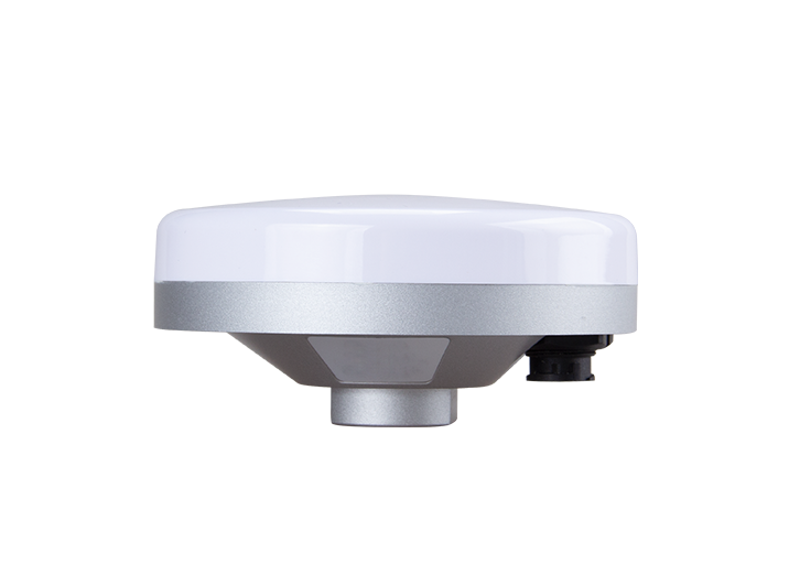
To address laser drift caused by slight hand movement, we developed the Laser RTK Stabilizer—a lightweight accessory designed to improve stability during laser surveying. This blog shows how to use it.
learn more