


 Home
Home

Horus Visual & Laser
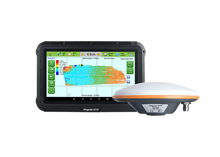
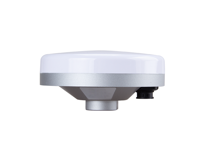
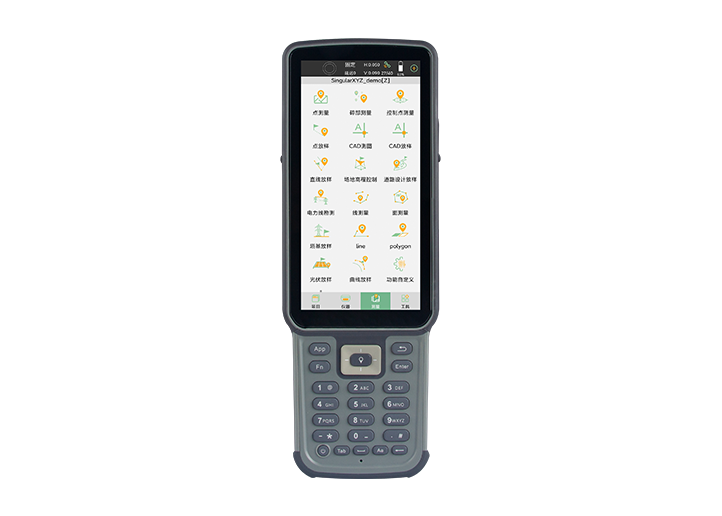
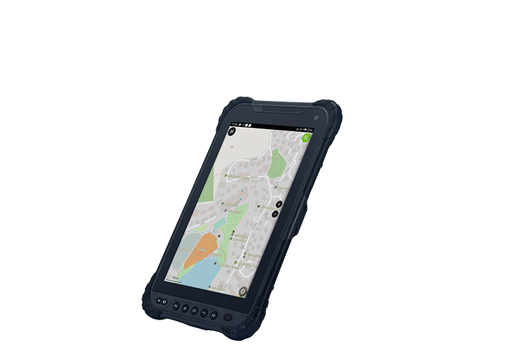
GNSS Receiver
GNSS Receiver
Learn More


 2025-11-07


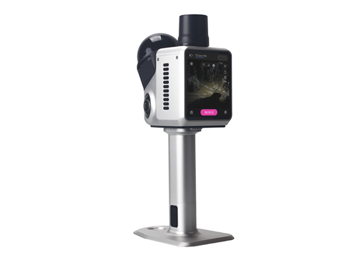
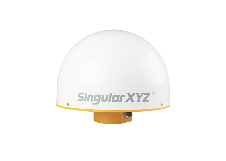
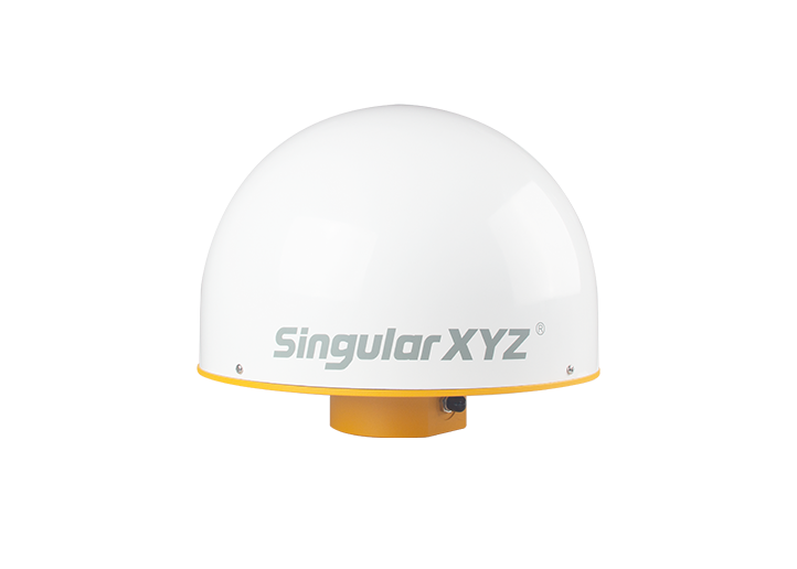
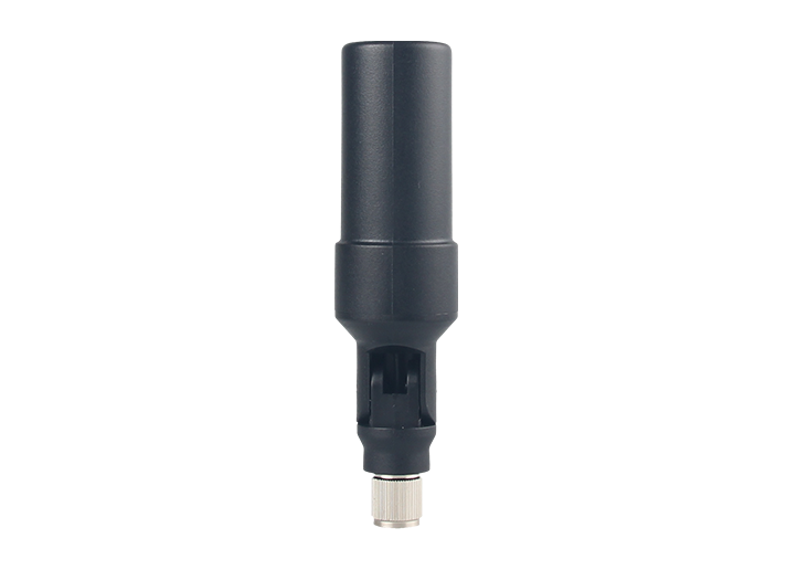
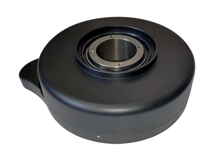
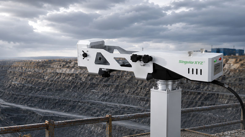
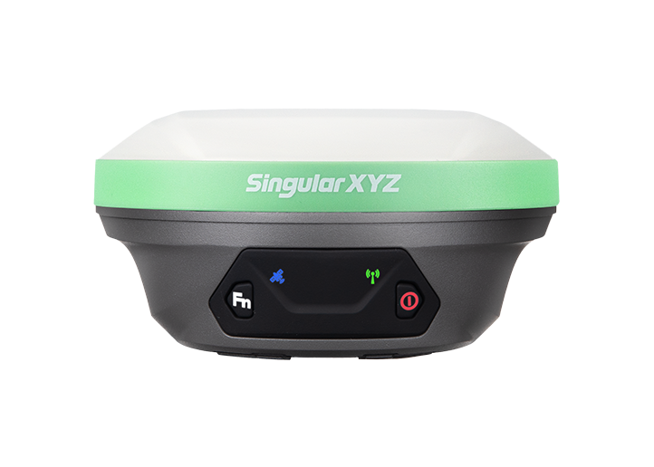
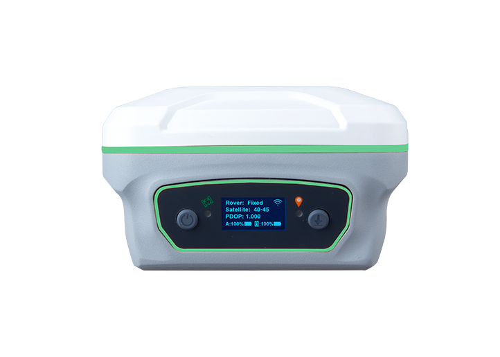
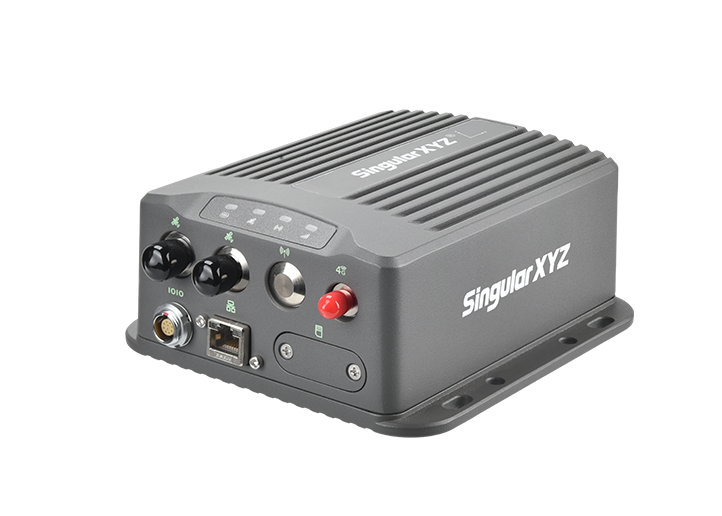
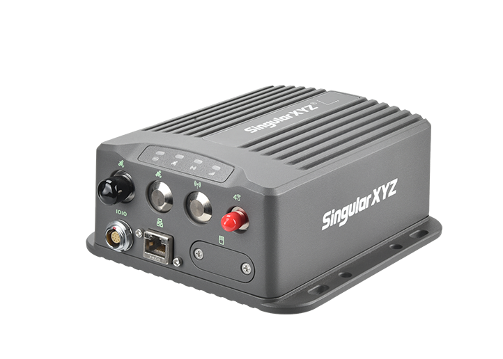
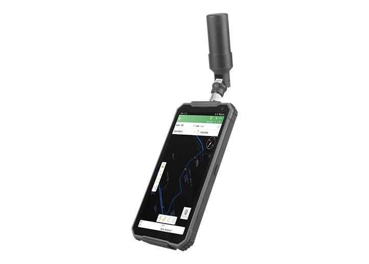
Shanghai, China - November 7, 2025 – After its first public showcase at INTERGEO 2025 in Frankfurt, SingularXYZ officially announces the global launch of the Horus Visual & Laser GNSS Receiver — a new-generation visual RTK solution that fuses dual-camera vision, laser precision, and advanced GNSS positioning in one compact, intelligent device.

Building on the foundation of the Orion ONE, Horus inherits its laser and visual technologies while evolving into a dual-camera system with enhanced intelligence and precision — representing SingularXYZ's latest step forward in redefining the future of surveying with vision.
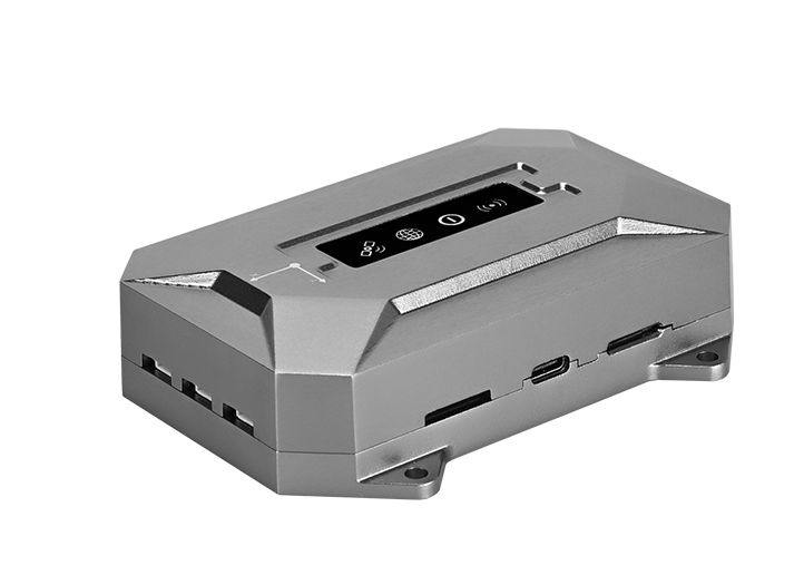
At the heart of Horus lies its cutting-edge visual surveying capability, driven by an HD starlight camera and advanced photogrammetry algorithms. Users can simply capture, tap, and measure, obtaining centimeter-level results instantly and intuitively without complex post-processing.

Horus also streamlines field efficiency by allowing multiple points to be captured from a single photo while preserving all image records for verification or recovery — helping surveyors visualize every detail and improve overall productivity. Beyond data collection, the generated visual datasets are compatible with third-party modeling software, providing ready-to-use image resources for 3D modeling and mapping.
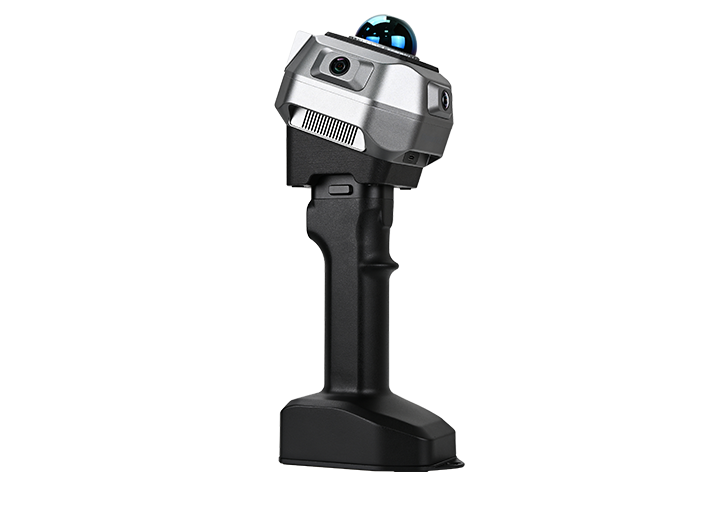
When it comes to laser surveying, users often express concerns about target alignment accuracy and limited measuring range, especially under bright sunlight or in complex environments. The Horus Visual & Laser GNSS Receiver addresses these needs through its camera-assisted laser surveying system, which combines a camera with a high-visibility green laser for clear, real-time visual guidance.

The green laser remains visible even under strong sunlight, allowing users to aim precisely without guesswork. With its non-contact laser and visual alignment extending the measuring range up to 50 meters, Horus ensures stable, accurate, and efficient distance measurement — helping professionals measure safely and confidently across a wide variety of field scenarios.
Horus introduces an upgraded dual-camera AR stakeout system that intelligently switches between the two cameras based on target distance — the rear camera for long-range visualization and the bottom camera for close-range guidance. This seamless, automatic transition ensures that surveyors always have the most intuitive, real-world view for every stakeout task, enhancing both speed and accuracy in on-site operations.

Under the hood, Horus integrates advanced hardware to support its visual and laser capabilities. A new-generation IMU offers up to 60° tilt compensation, ensuring stability and precision across all surveying modes — whether visual, laser, or traditional pole-based.
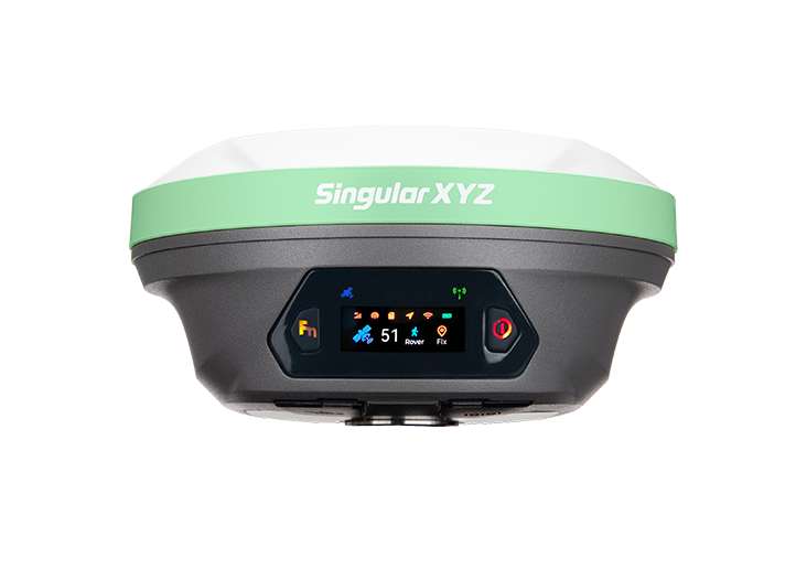
Meanwhile, full-constellation satellite tracking with GPS, BDS, GLONASS, Galileo, QZSS, and NavIC provides fast and reliable FIX even in urban canyons or dense vegetation. The quad-core platform with 2.0 Tops NPU ensures smooth visual data processing and efficient computation in all environments.

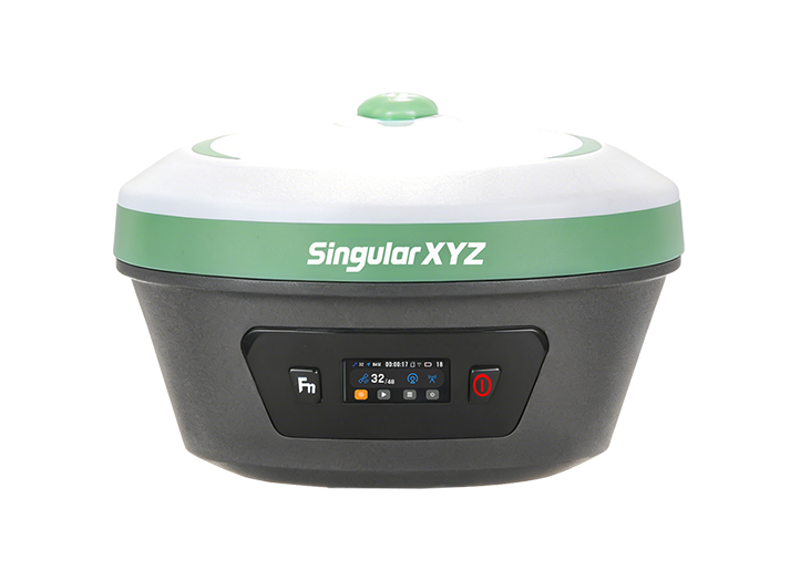
Every detail of Horus reflects SingularXYZ's commitment to reliability. The IP67-rated aluminum-magnesium alloy housing withstands 2-meter drops, while the 6600 mAh high-capacity battery delivers up to 12 hours of continuous work. Whether under the sun, in the rain, or across rugged terrain, Horus is built to perform day after day.
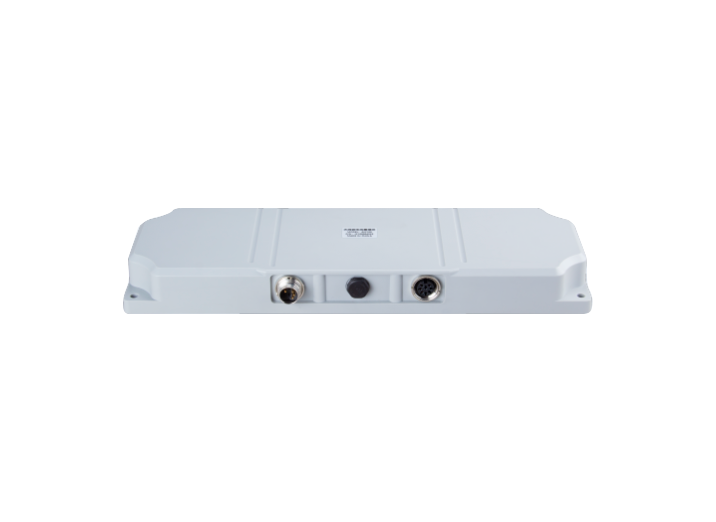
With NFC, Bluetooth, Wi-Fi, USB Type-C, and 8 GB onboard storage, Horus simplifies device setup and data management. It supports multiple working modes — from static recording with web data download, to internal radio mode with up to 15 km range, and PDA CORS mode for instant connection to local CORS via Bluetooth.
This versatile connectivity ensures Horus fits effortlessly into any surveying workflow, from traditional setups to advanced digital mapping systems.
The Horus Visual & Laser GNSS Receiver marks a significant milestone in SingularXYZ's mission to integrate vision and intelligence into the surveying industry. Combining high-precision GNSS, dual-camera vision, and laser technology, Horus is designed to help professionals measure what they see — faster, safer, and smarter.
Pre-orders for Horus are now available through SingularXYZ official channels and local authorized distributors worldwide.
For more information on the Horus Visual & Laser GNSS Receiver, please visit: https://www.singularxyz.com/product_detail/Horus
About SingularXYZ®
SingularXYZ Intelligent Technology Ltd. is focused on high precision GNSS PNT (Positioning, Navigation & Timing) technology, extending its coverage to horizontal and vertical industries, which mainly include geospatial information, precision agriculture, machine control, robotics, telecommunications, IoT and etc., providing customers with reliable, stable and professional products, solutions and service.
 2026-07-21
 2026-07-16
 2026-07-01