


 Home
Home
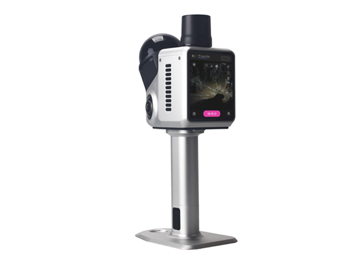
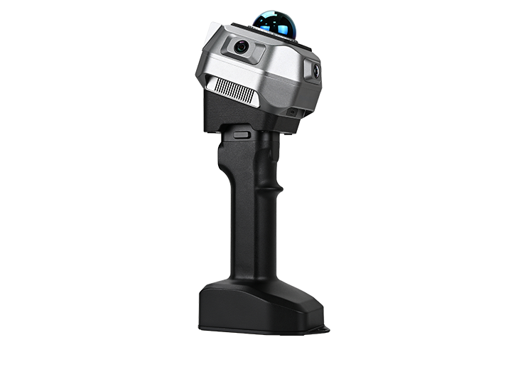
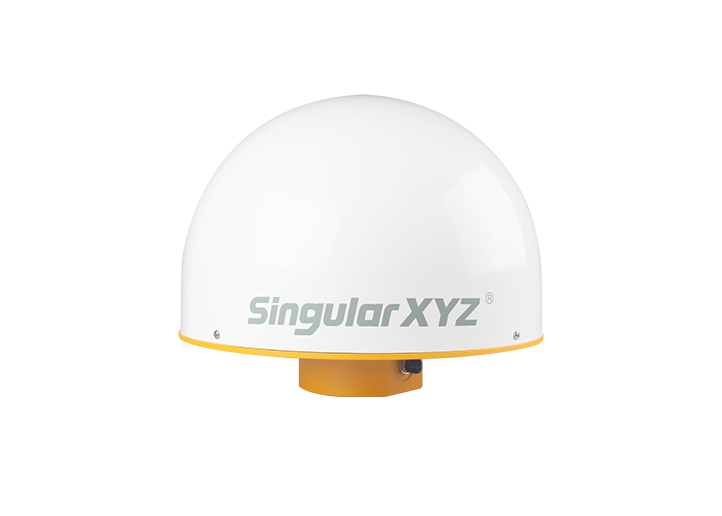
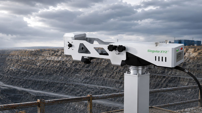
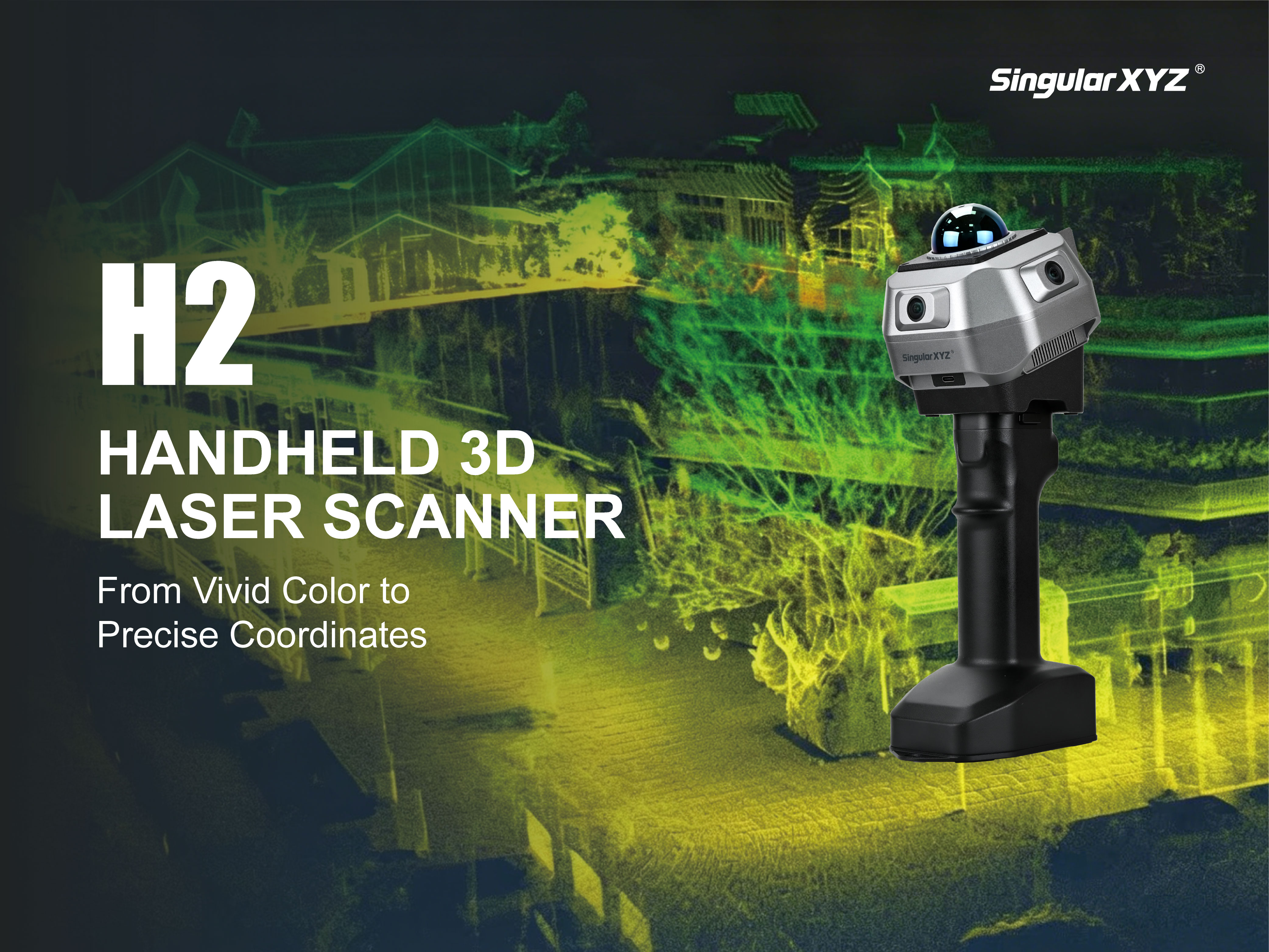
H1 Handheld 3D Laser Scanner
Learn More


 2025-12-01


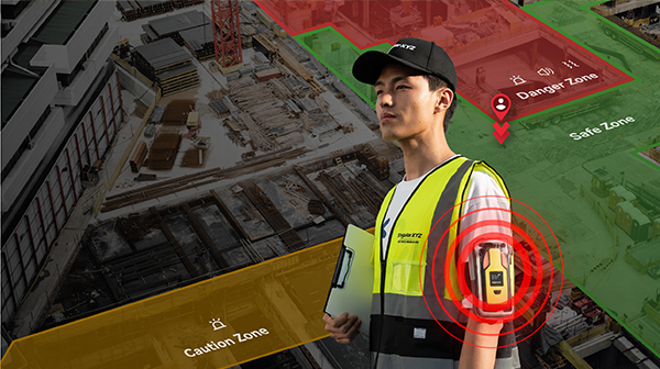
Shanghai, China - December 1st, 2025 — SingularXYZ today announced the launch of the H1 Handheld 3D Laser Scanner, a compact, high-performance solution designed to deliver survey-grade 3D data across indoor, outdoor, and mobile environments. By integrating high-density LiDAR, advanced imaging, GNSS RTK, SLAM, and an all-in-one operating system, the H1 redefines efficiency for professionals in surveying, construction, and digital-twin applications.
The H1 is powered by a high-performance LiDAR system capturing 480,000 points per second with 15 mm accuracy at 10 m and 3 cm accuracy at 20 m, enabling dense and reliable point clouds even in complex environments. Its triple-camera imaging system—including dual 13 MP 1-inch fisheye cameras—provides vivid, realistic textures, while an integrated NIR tracking module enhances motion stability in low-light and repetitive structural conditions. Together, these capabilities ensure that the H1 delivers both geometric fidelity and high-quality visual detail in every scan.

Combining full-constellation GNSS RTK with advanced SLAM algorithms, the H1 achieves centimeter-level absolute positioning that ensures each dataset aligns accurately with real-world coordinate systems. This hybrid approach maintains consistent performance whether operating outdoors with clear sky visibility or indoors where GNSS signals are limited, reducing dependence on control points and accelerating professional workflows.

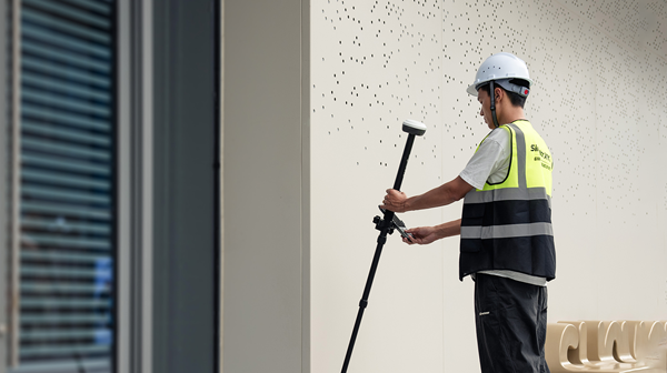
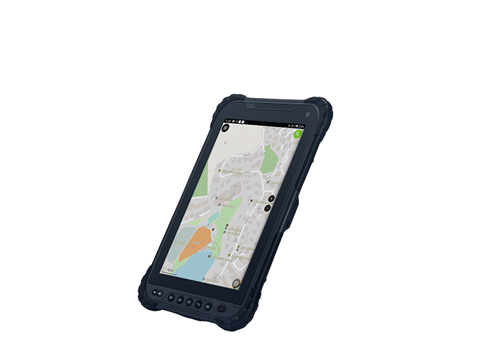
Designed for seamless field operation, the H1 integrates a 3.9-inch AMOLED touchscreen, eliminating the need for external controllers. Its onboard real-time viewer offers point cloud, photo, and split-screen modes, allowing users to validate coverage, assess data quality, and adjust parameters directly during capture. This streamlined, controller-free workflow minimizes rescans, shortens field time, and ensures that projects are verified on-site before leaving the field.

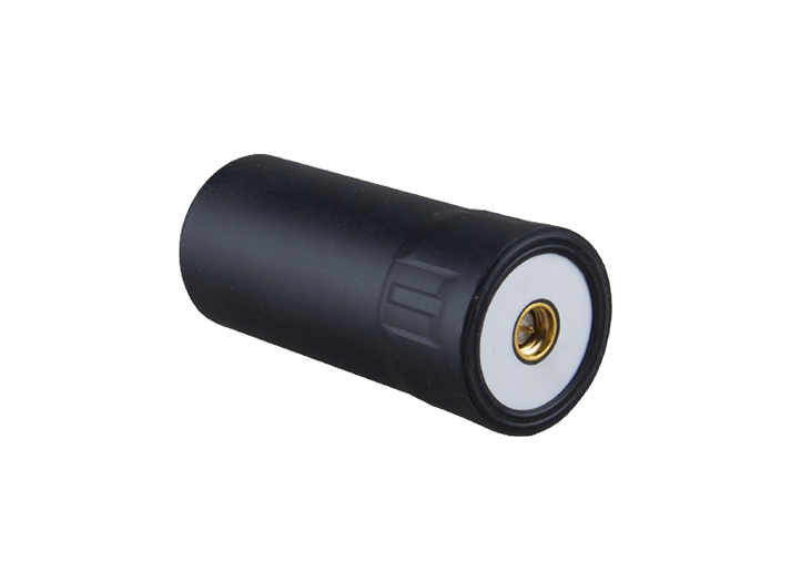
The H1 supports a wide range of deployment scenarios, from handheld operation to vehicle-mounted or UAV-integrated setups, as well as other custom configurations, making it suitable for diverse professional tasks such as architectural documentation, industrial inspection, construction progress monitoring, and large-scale outdoor mapping. In handheld use, dual 12,000 mAh battery grips provide up to one hour of continuous scanning, while other setups can rely on external power for uninterrupted operation.
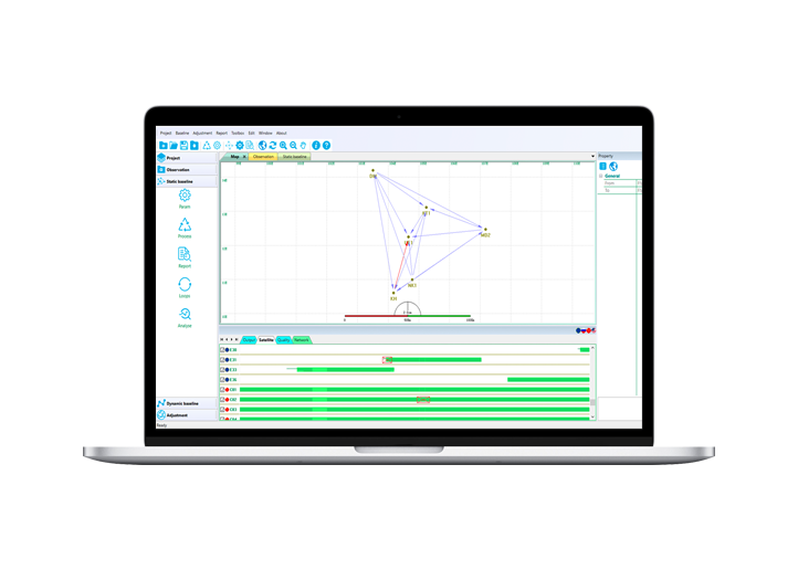
Back in the office, SingularXYZ's post-processing software offers intuitive tools for refinement, editing, and registration, with support for output formats such as PLY, PNG+OBJ, and Gaussian-Splatting PLY. This ensures smooth integration into BIM, digital twin, and visualization pipelines.

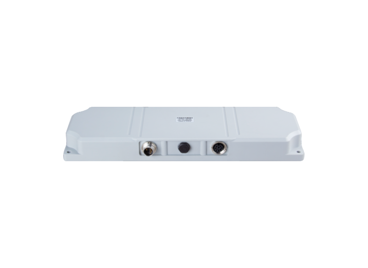
Built with an IP65-rated metal body and weighing only 900 g, the H1 combines durability with field-friendly portability. Its dedicated Type-C ports for data and external power, SD card expansion, and built-in Wi-Fi provide flexible and reliable connectivity. An optimized heat-dissipation system with independent air inlets and outlets ensures stable performance throughout extended scanning sessions, enabling professionals to work confidently in demanding real-world environments.

With its combination of high-density LiDAR, advanced imaging, and centimeter-level absolute positioning, the H1 delivers professional-grade 3D data anytime, anywhere. By streamlining field capture, validation, and post-processing into a single integrated workflow, SingularXYZ empowers surveyors, engineers, and digital-twin specialists to work faster, more accurately, and with greater confidence. The H1 marks a significant step forward in mobile reality capture, opening new possibilities for complex scanning tasks across industries worldwide.
H1 handheld 3D laser scanner is now available through SingularXYZ official channels and local authorized distributors worldwide.
For more information on the H1 handheld 3D laser scanner, please visit:
https://www.singularxyz.com/product_detail/H1_Scanner
About SingularXYZ®
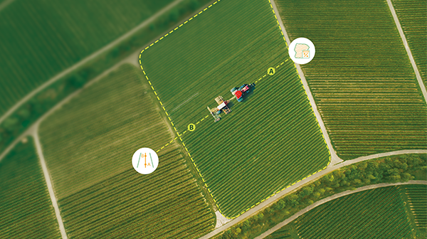
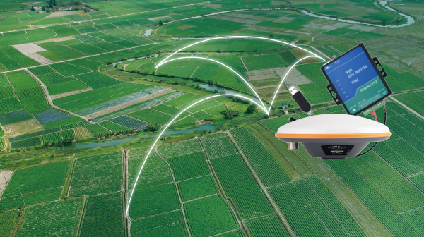
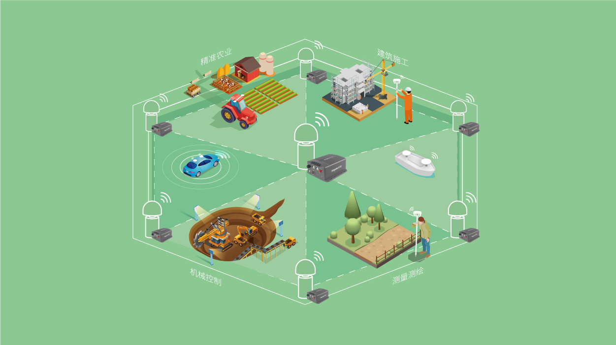
SingularXYZ Intelligent Technology Ltd. is focused on high precision GNSS PNT (Positioning, Navigation & Timing) technology, extending its coverage to horizontal and vertical industries, which mainly include geospatial information, precision agriculture, machine control, robotics, telecommunications, IoT and etc., providing customers with reliable, stable and professional products, solutions and service.

 2026-07-21
 2026-07-16
 2026-07-01