


 Home
Home


Geospatial
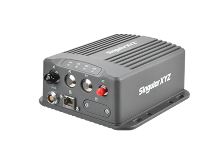
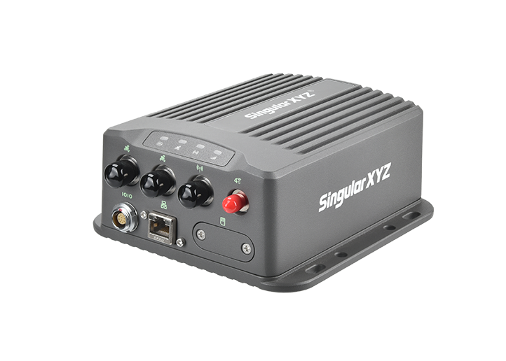
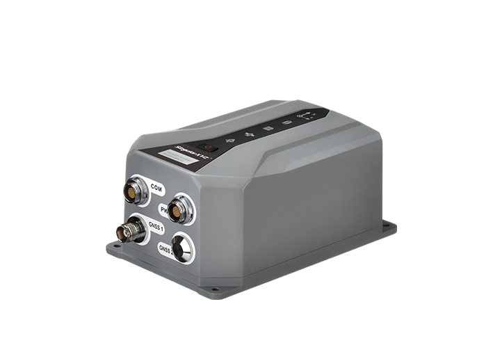
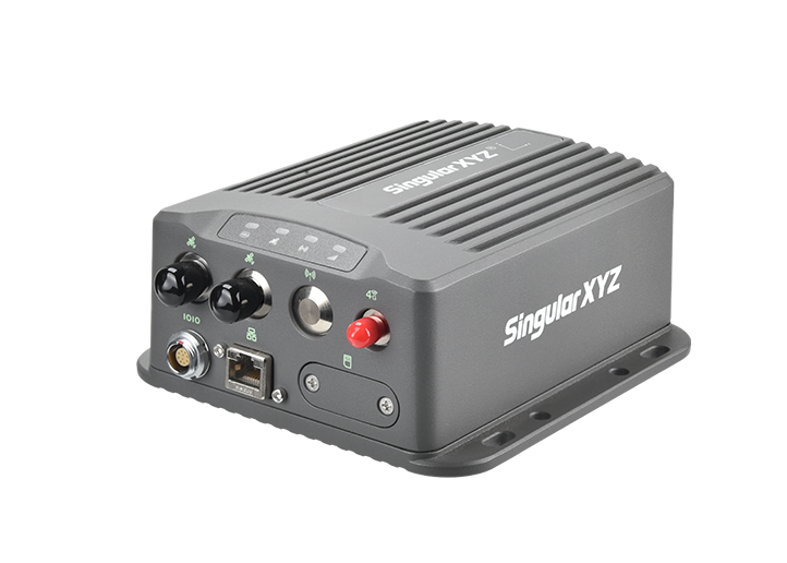
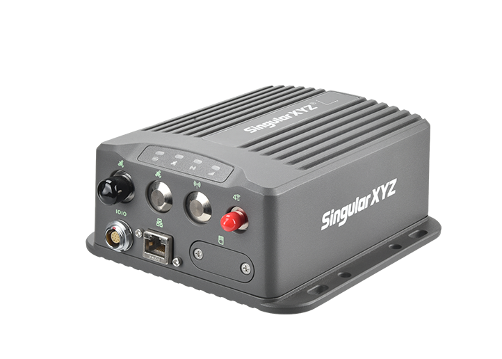
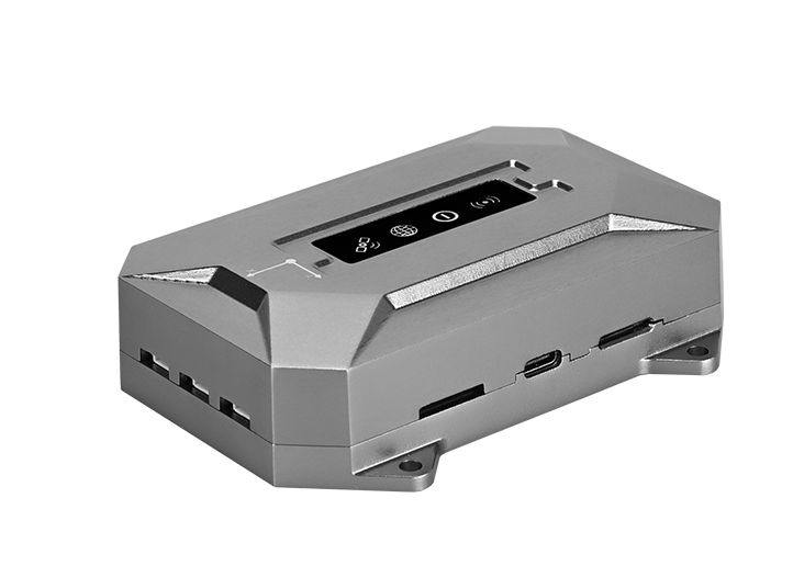
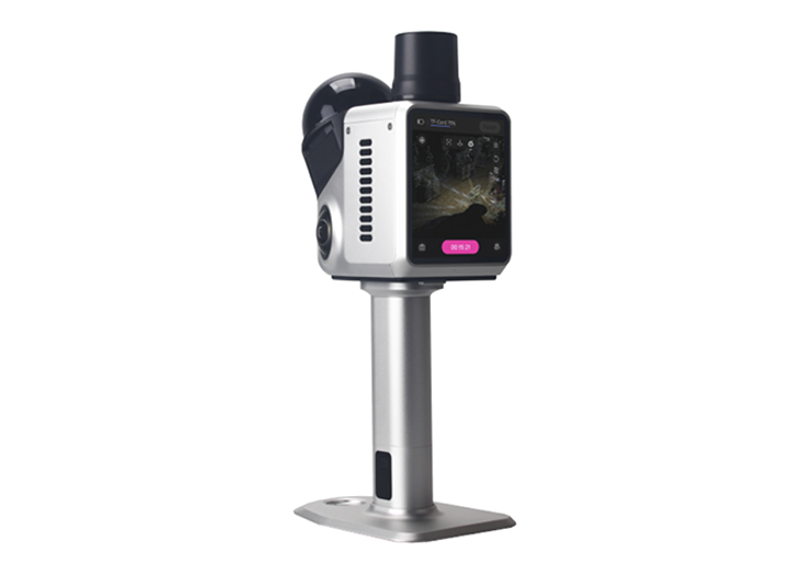
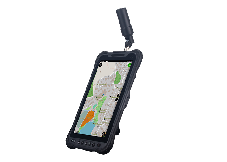
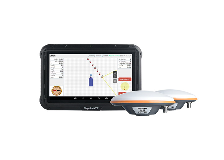
Tech Chat | How to Add Attributes to Measured Features During Surveys
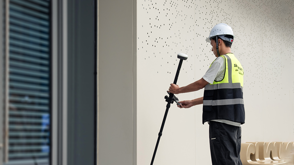
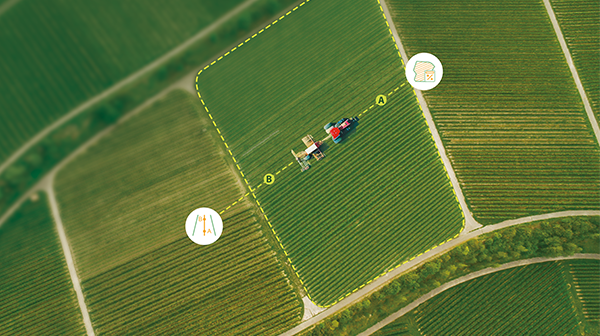
As GISers and surveyors are familiar with, the geo-features come with a couple of attributes. Some are automatically generated based on the measured coordinates, such as the length of the line and the area of the surface.
learn more