


 Home
Home

Geospatial
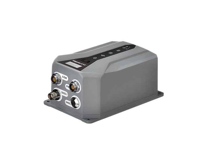
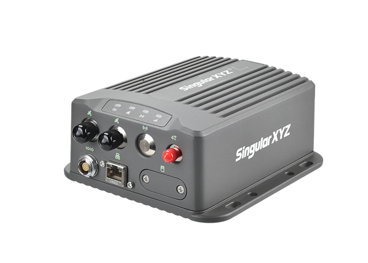
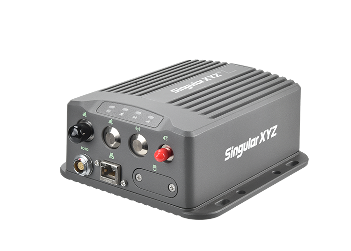
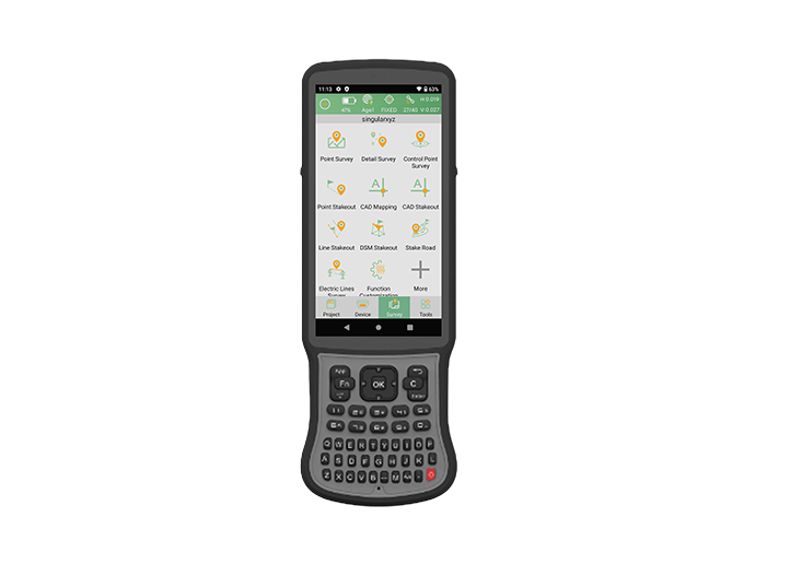
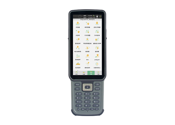
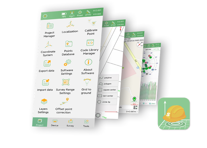
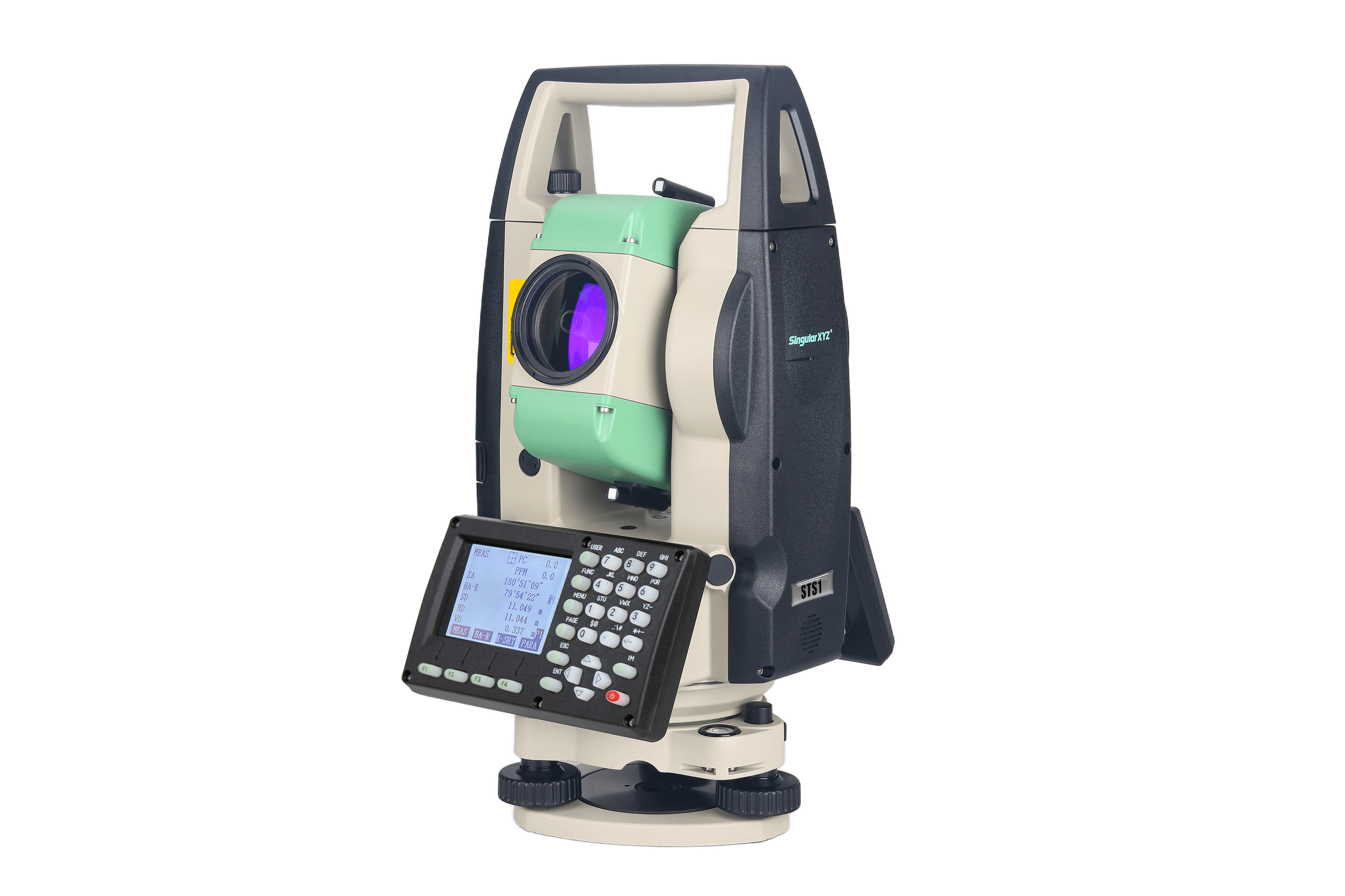
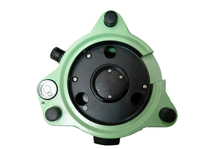
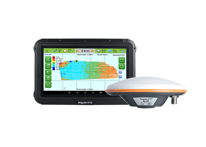
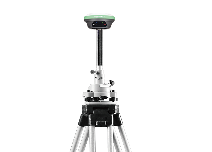
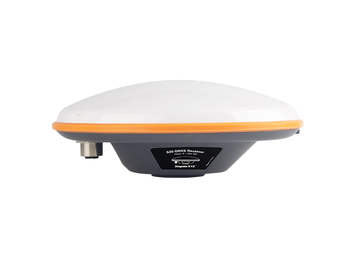
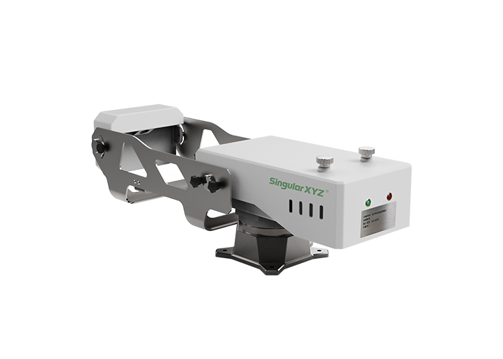
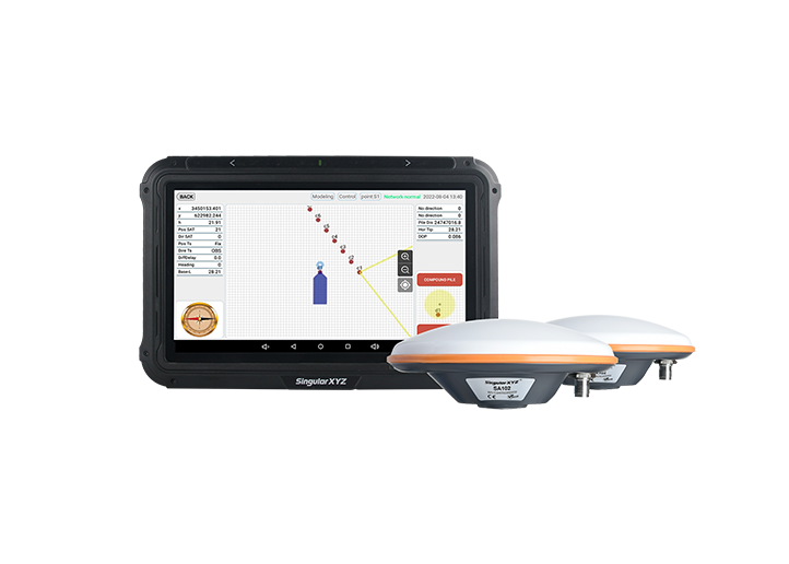
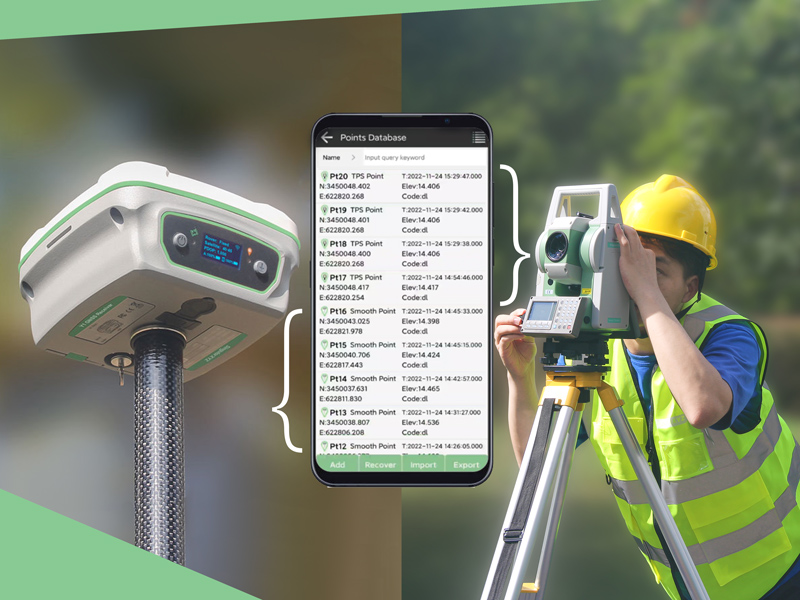
Tech Chat | How to combine total station & RTK receiver surveying?
In this blog, we will introduce how to perform both total station and RTK receiver surveys in the same coordinate system through SingularPad software. Post-processing is no longer required.
learn more