


 Home
Home

Geospatial
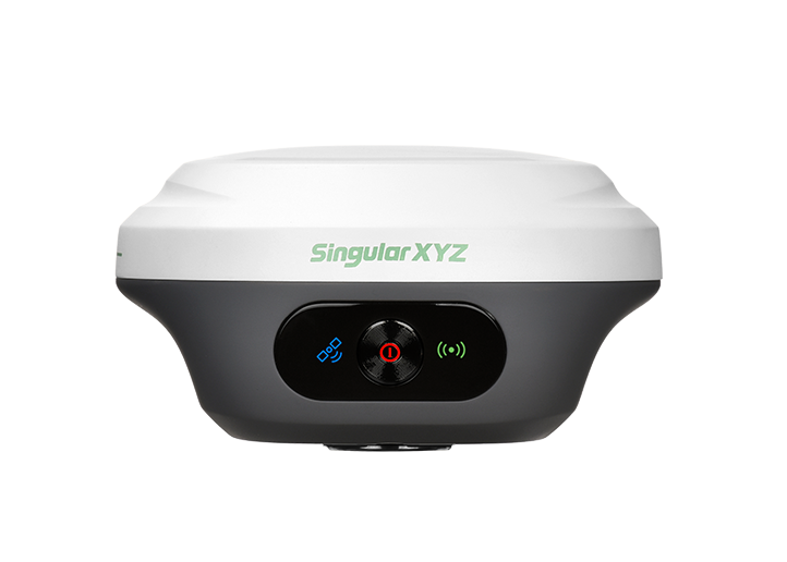
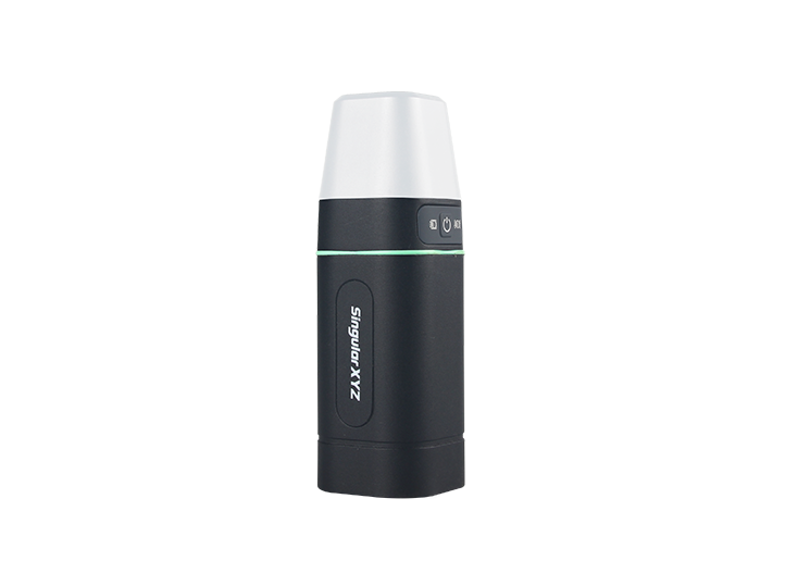
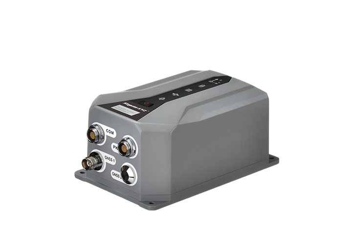
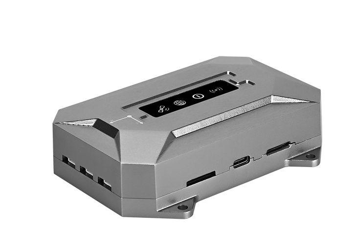
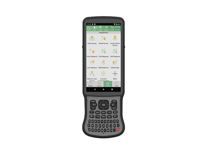
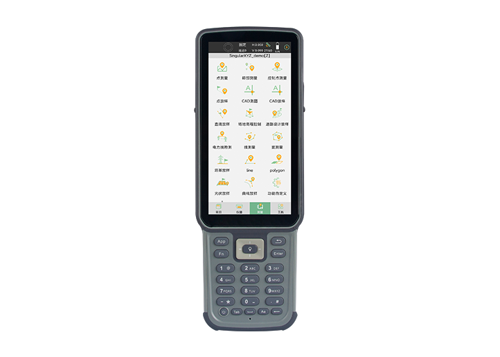
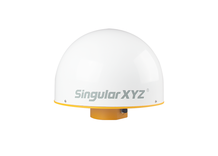
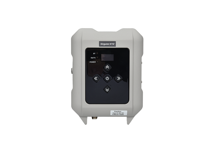
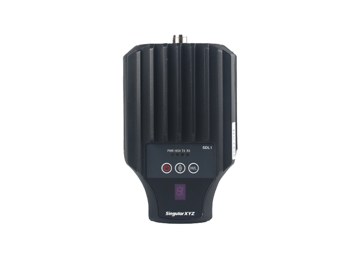
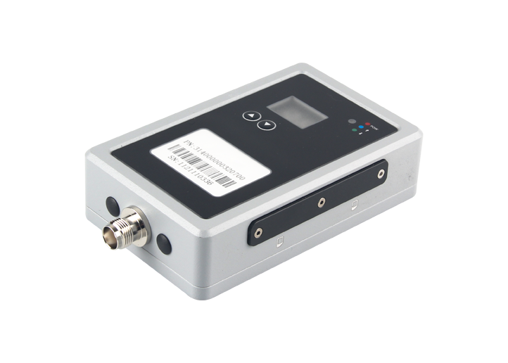
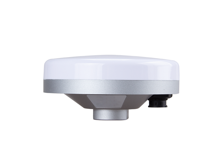
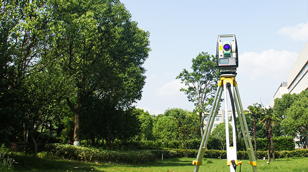
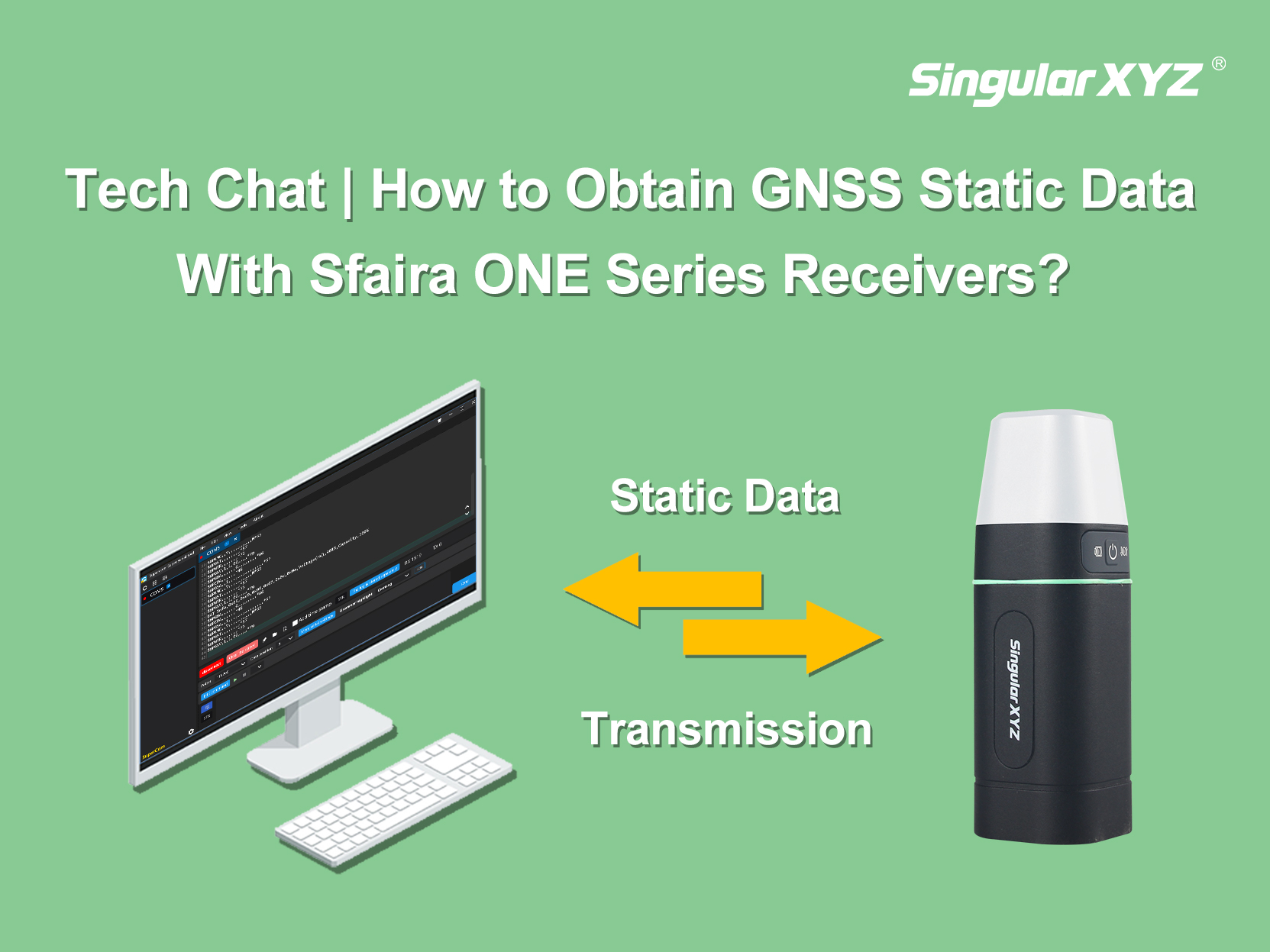
Tech Chat | How to Obtain GNSS Static Data With Sfaira ONE Series?
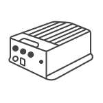
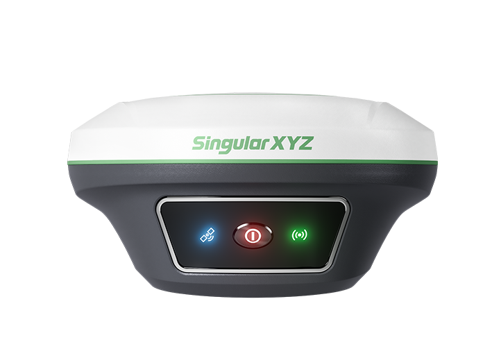
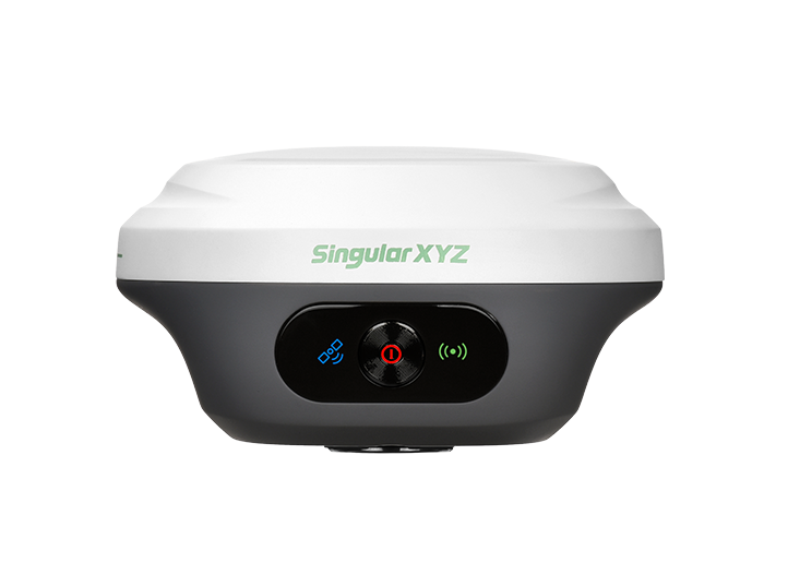
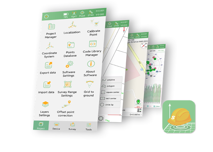
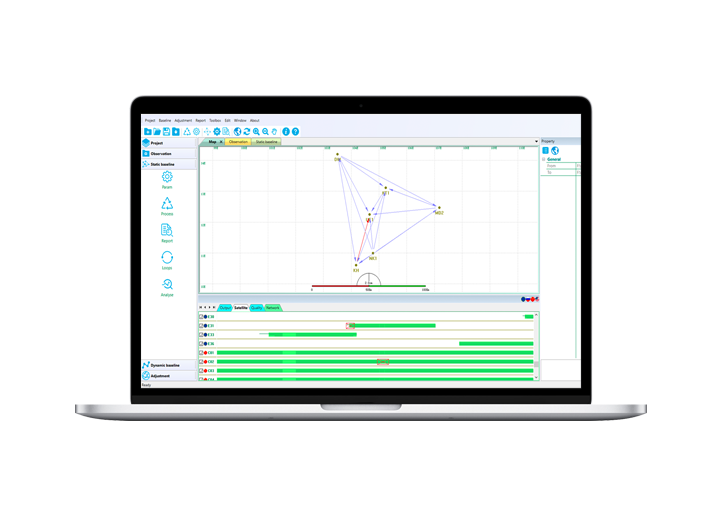
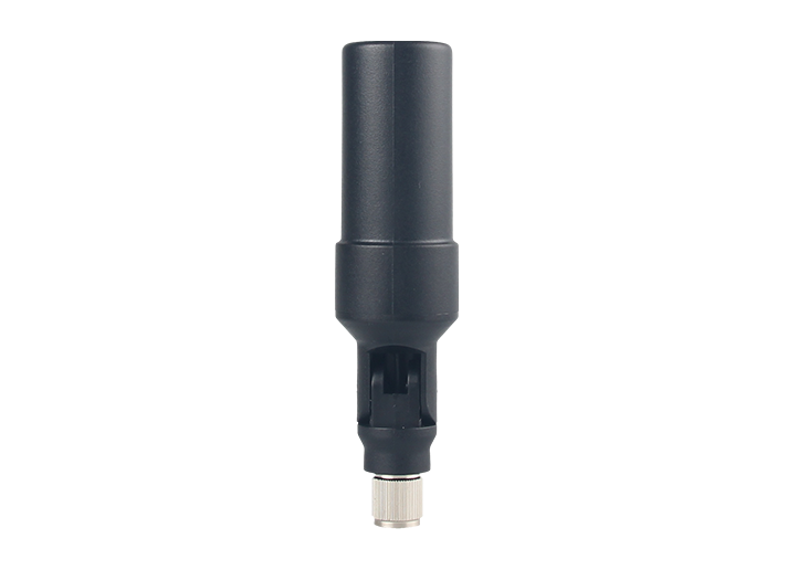
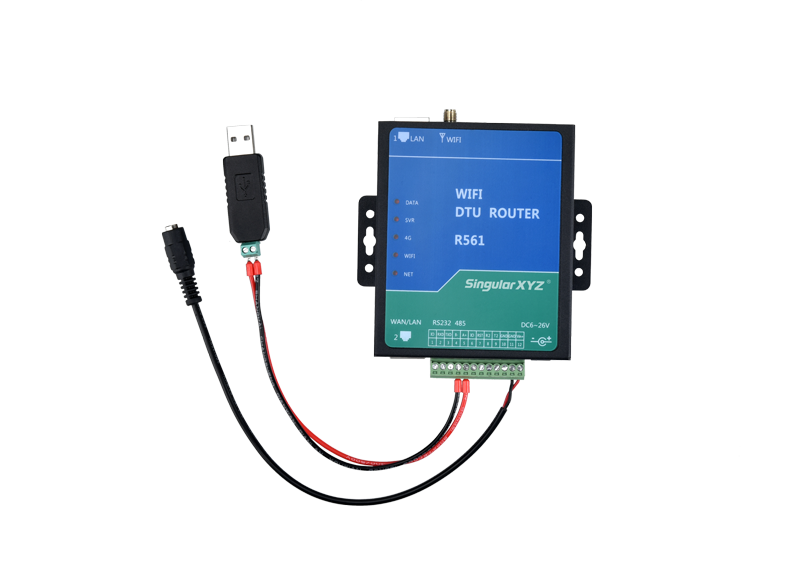
Recently, Sfaira ONE Series users have also expressed interest in obtaining static data, although this model lacks internal storage. In this blog, we'll walk you through how to obtain static data from it via a Type-C USB cable for easy transfer.
learn more