


 Home
Home

Geospatial
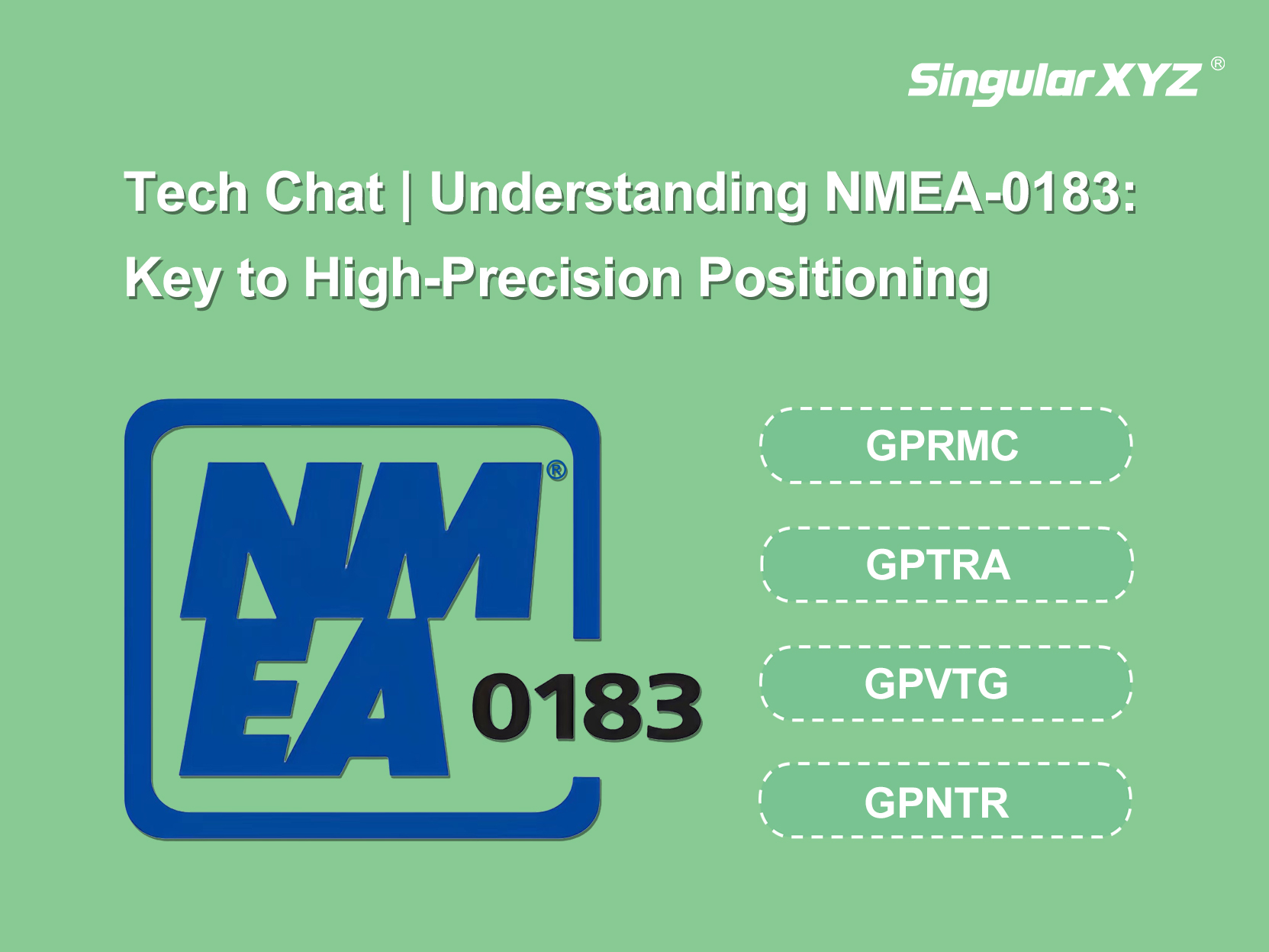
Tech Chat | Understanding NMEA Messages: Key to High-Precision Positioning
In the world of high-precision surveying, NMEA messages are essential for reliable communication between GNSS receivers and other devices. In this blog, we'll break down key NMEA messages.
learn more